Livingston - Livingston Muni
Airport details
| Country | United States of America |
| State | Texas |
| Region | K4 |
| Airspace | Houston Oceanic Ctr |
| Municipality | Polk County |
| Elevation | 149ft (45m) |
| Timezone | GMT -6 |
| Coordinates | 30.68586, -95.01791 |
| Magnetic var | |
| Type | land |
| Available since | X-Plane v10.40 |
| ICAO code | 00R |
| IATA code | n/a |
| FAA code | 00R |
Communication
| Livingston Muni CTAF/UNICOM | 122.700 |
Nearby Points of Interest:
Steamboat House
-Woodland
-Tyler County Courthouse
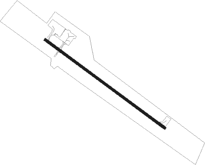
Runway info
| Runway 12 / 30 | ||
| length | 1130m (3707ft) | |
| bearing | 127° / 307° | |
| width | 18m (60ft) | |
| surface | asphalt | |
Nearby beacons
| code | identifier | dist | bearing | frequency |
|---|---|---|---|---|
| CX | ALIBI (HOUSTON) NDB | 28.1 | 241° | 281 |
| UTS | HUNTSVILLE NDB | 29.7 | 275° | 308 |
| LFK | LUFKIN VORTAC | 32.5 | 32° | 112.10 |
| LF | FLUFY (LUFKIN) NDB | 33.5 | 20° | 350 |
| DAS | DAISETTA VORTAC | 35.5 | 143° | 116.90 |
| BVP | NIXIN (HOUSTON) NDB | 42.8 | 196° | 326 |
| IAH | HUMBLE (HOUSTON) VORTAC | 46.9 | 204° | 116.60 |
| OC | NADOS (NACOGDOCHES) NDB | 50.4 | 20° | 253 |
| LOA | LEONA VORTAC | 55.5 | 295° | 110.80 |
| GDE | GOODHUE (BEAUMONT) NDB | 55.7 | 127° | 368 |
Instrument approach procedures
| runway | airway (heading) | route (dist, bearing) |
|---|---|---|
| RW30 | DAS (323°) | DAS BOBKO (26mi, 330°) 2000ft BOBKO (turn) |
| RNAV | BOBKO 2000ft AGEVE (5mi, 307°) 1800ft DILKS (4mi, 307°) 446ft (5663mi, 108°) 1000ft BOBKO (5657mi, 288°) 2000ft BOBKO (turn) |
Disclaimer
The information on this website is not for real aviation. Use this data with the X-Plane flight simulator only! Data taken with kind consent from X-Plane 12 source code and data files. Content is subject to change without notice.