Sussex - Capitol
Airport details
| Country | United States of America |
| State | Wisconsin |
| Region | K5 |
| Airspace | Chicago Ctr |
| Municipality | Brookfield |
| Elevation | 850ft (259m) |
| Timezone | GMT -6 |
| Coordinates | 43.09022, -88.17816 |
| Magnetic var | |
| Type | land |
| Available since | X-Plane v10.40 |
| ICAO code | 02C |
| IATA code | n/a |
| FAA code | n/a |
Communication
| CAPITOL CTAF/UNICOM | 122.700 |
Nearby Points of Interest:
George Lawrence Clarke Jr. House
-St. Matthias Episcopal Church
-First Methodist Church
-Sen. William Blair House
-First Congregational Church
-First Baptist Church
-St. Joseph's Catholic Church Complex
-McCall Street Historic District
-Everett P. Barrett House
-Camillia Smith House
-Arlington Apartments
-Chicago and North Western Depot
-Robert O. Jones House
-Main Street Historic District
-Stephen Warren House
-Harold Hornburg House
-Bank of Hartland
-Dr. Fisk Holbrook Day House
-Trapp Filling Station
-Dansk Evangelical Lutheran Kirke
-Zion Evangelical Lutheran Church
-Church Street Historic District
-Wauwatosa Woman's Club Clubhouse
-Greenfield School
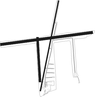
Runway info
Runway 3 / 21  | ||
| length | 1039m (3409ft) | |
| bearing | 21° / 201° | |
| width | 12m (40ft) | |
| surface | asphalt | |
| displ threshold | 476m (1562ft) / 281m (922ft) | |
| Runway 18 / 36 | ||
| length | 488m (1601ft) | |
| bearing | 182° / 2° | |
| width | 24m (80ft) | |
| surface | grass | |
| Runway 09 / 27 | ||
| length | 1033m (3389ft) | |
| bearing | 88° / 268° | |
| width | 30m (100ft) | |
| surface | grass | |
Nearby beacons
| code | identifier | dist | bearing | frequency |
|---|---|---|---|---|
| BAE | BADGER (MILWAUKEE) VOR/DME | 4.9 | 284° | 116.40 |
| LJT | (MILWAUKEE) DME | 6.2 | 82° | 115.65 |
| BJB | WEST BEND VOR | 20 | 9° | 109.80 |
| RYV | ROCK RIVER (WATERTOWN) NDB | 24.4 | 279° | 371 |
| BUU | (BURLINGTON) DME | 24.6 | 197° | 114.50 |
| HRK | (RACINE) DME | 25.3 | 132° | 117.70 |
| RA | PASER (RACINE) NDB | 27.3 | 146° | 206 |
| UNU | JUNEAU NDB | 30.6 | 303° | 344 |
| ENW | DME | 31.4 | 153° | 109.20 |
| UG | WAUKE (CHICAGO/WAUKEGAN) NDB | 41.1 | 149° | 379 |
| FAH | (SHEBOYGAN) DME | 43.2 | 26° | 110 |
| OS | POBER (OSHKOSH) NDB | 49.8 | 334° | 395 |
| JVL | JANESVILLE VOR/DME | 51.8 | 240° | 114.30 |
| OBK | NORTHBROOK VOR/DME | 53.1 | 165° | 113 |
| OSH | OSHKOSH VORTAC | 56.5 | 337° | 116.75 |
Disclaimer
The information on this website is not for real aviation. Use this data with the X-Plane flight simulator only! Data taken with kind consent from X-Plane 12 source code and data files. Content is subject to change without notice.