Blanca
Airport details
| Country | United States of America |
| State | Colorado |
| Region | |
| Airspace | Denver Ctr |
| Municipality | Costilla County |
| Elevation | 7720ft (2353m) |
| Timezone | GMT -7 |
| Coordinates | 37.40434, -105.56017 |
| Magnetic var | |
| Type | land |
| Available since | X-Plane v10.40 |
| ICAO code | 05V |
| IATA code | n/a |
| FAA code | 05V |
Communication
Nearby Points of Interest:
San Luis Southern Railway Trestle
-Rito Seco Creek Culvert
-American National Bank Building
-Alamosa County Courthouse
-Capilla de San Isidro
-Big Spring Creek
-Superintendent's Residence, Great Sand Dunes National Monument
-Medano Ranch Headquarters
-La Veta Pass Narrow Gauge Railroad Depot
-La Jara Depot
-Trujillo Homestead
-Francisco Plaza
-Monument Lake Park Building and Hatchery Complex
-Palace Hotel
-Carnegie Library
-Montoya Ranch
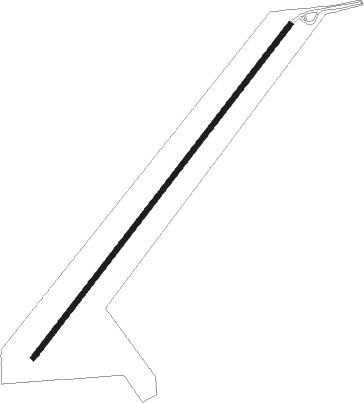
Runway info
| Runway 03 / 21 | ||
| length | 1866m (6122ft) | |
| bearing | 49° / 229° | |
| width | 21m (70ft) | |
| surface | dirt | |
Nearby beacons
| code | identifier | dist | bearing | frequency |
|---|---|---|---|---|
| ALS | ALAMOSA VORTAC | 12.6 | 258° | 113.90 |
| TAS | TAOS VORTAC | 50.5 | 204° | 117.60 |
| CIM | CIMARRON VORTAC | 64 | 143° | 116.40 |
Disclaimer
The information on this website is not for real aviation. Use this data with the X-Plane flight simulator only! Data taken with kind consent from X-Plane 12 source code and data files. Content is subject to change without notice.