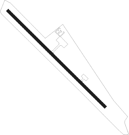
Union Springs - Franklin Fld
Airport details
| Country | United States of America |
| State | Alabama |
| Region | K7 |
| Airspace | Atlanta Ctr |
| Municipality | Bullock County |
| Elevation | 298ft (91m) |
| Timezone | GMT -6 |
| Coordinates | 32.16681, -85.80968 |
| Magnetic var | |
| Type | land |
| Available since | X-Plane v10.40 |
| ICAO code | 07A |
| IATA code | n/a |
| FAA code | n/a |
Communication
| FRANKLIN FLD CTAF/UNICOM | 122.800 |
Nearby Points of Interest:
Foster House
-Sardis Baptist Church
-Merritt School
-Butler Chapel African Methodist Episcopal Zion Church
-Macon County Courthouse
-Tuskegee Veterans Administration Medical Center
-Joel Hurt House
-Shiloh Missionary Baptist Church and Rosenwald School
-Tallassee Mills
-College Street Historic District
-Petty-Roberts-Beatty House
-Grace Episcopal Church
-Miller-Martin Town House
-Fendall Hall
-Henry D. Clayton House
-Edgewood
-Cloverdale Historic District
-Alabama State University Historic District
-Garden District
-Tyson-Maner House
-Gay House
-Jefferson Franklin Jackson House
-Dr. C.A. Thigpen House
-Cassimus House
-Alabama Governor's Mansion
Nearby beacons
| code | identifier | dist | bearing | frequency |
|---|---|---|---|---|
| TGE | TUSKEGEE VOR/DME | 20.3 | 24° | 117.30 |
| TOI | BLOOD (TROY) NDB | 25.1 | 221° | 365 |
| TOI | BLOOD (TROY) NDB | 25.2 | 221° | 365 |
| MGM | MONTGOMERY VORTAC | 26.1 | 276° | 112.10 |
| MXF | MAXWELL (MONTGOMERY) TACAN | 31.1 | 291° | 115 |
| MG | MARRA (MONTGOMERY) NDB | 36.6 | 282° | 245 |
| EUF | EUFAULA VORTAC | 36.9 | 108° | 109.20 |
| AWS | LAWSON (COLUMBUS) NDB | 40.6 | 81° | 335 |
| CS | FENIX (COLUMBUS) NDB | 42.5 | 70° | 355 |
| LSF | LAWSON (COLUMBUS) VOR/DME | 42.6 | 79° | 111.40 |
| HYE | HANCHEY (FT RUCKER) NDB | 48.1 | 169° | 221 |
| HEY | HANCHEY (FT RUCKER) VOR | 48.2 | 169° | 110.60 |
| CSG | COLUMBUS VORTAC | 48.3 | 60° | 117.10 |
| LOR | LOWE (FORT RUCKER) NDB | 48.4 | 175° | 269 |
| BVG | BOLL WEEVIL (ENTERPRISE) NDB | 50.4 | 192° | 352 |
| EDN | ENTERPRISE VOR | 52.4 | 186° | 116.60 |
| OZR | CAIRNS (FT RUCKER) VOR/DME | 54 | 175° | 111.20 |
| RRS | WIREGRASS (DOTHAN) VORTAC | 56.4 | 157° | 111.60 |
| OZ | RUCKR (FT RUCKER) NDB | 56.5 | 180° | 212 |
| JUY | JUDD (ANDALUSIA) NDB | 59.6 | 214° | 264 |
| LGC | LA GRANGE VORTAC | 61.1 | 34° | 115.60 |
Disclaimer
The information on this website is not for real aviation. Use this data with the X-Plane flight simulator only! Data taken with kind consent from X-Plane 12 source code and data files. Content is subject to change without notice.
