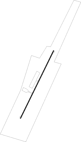
Warren - Warren-sugarbush
Airport details
| Country | United States of America |
| State | Vermont |
| Region | |
| Airspace | Boston Ctr |
| Municipality | Warren |
| Elevation | 1470ft (448m) |
| Timezone | GMT -5 |
| Coordinates | 44.11435, -72.82952 |
| Magnetic var | |
| Type | land |
| Available since | X-Plane v10.40 |
| ICAO code | 0B7 |
| IATA code | n/a |
| FAA code | 0B7 |
Communication
Nearby Points of Interest:
Warren Village Historic District
-Joslin Farm
-Lareau Farmstead
-Jones-Pestle Farmstead
-Waitsfield Common Historic District
-Knoll Farm
-Roxbury Fish Hatchery
-Mad River Valley Rural Historic District
-Old Red Mill
-Central Vermont Railway Depot
-Mayo Building
-Marvin Newton House
-Starksboro Village Meeting House
-Lampson School
-Chauncey B. Leonard House
-Remington-Williamson Farm
-Middlesex–Winooski River Bridge
-Hoag Gristmill and Knight House Complex
-Chandler Music Hall
-Kimball Public Library
-Mari-Castle
-Athenwood and the Thomas W. Wood Studio
-National Clothespin Factory
-Middlebury Gorge Concrete Arch Bridge
-College Hall
Nearby beacons
| code | identifier | dist | bearing | frequency |
|---|---|---|---|---|
| MPV | MONTPELIER VOR/DME | 16.4 | 94° | 116.90 |
| BTV | BURLINGTON VOR/DME | 22.7 | 309° | 117.50 |
| DYO | SMUTO (RUTLAND) NDB | 25.1 | 197° | 221 |
| BJA | BURLINGTON TACAN | 25.9 | 318° | 112.40 |
| BT | HERRO (BURLINGTON) NDB | 30.9 | 315° | 382 |
| RUT | DME | 35.6 | 192° | 111 |
| LEB | DME | 37.2 | 125° | 113.70 |
| LAH | HANOVER (LEBANON) NDB | 37.5 | 122° | 276 |
| CNH | CLAREMONT NDB | 48.9 | 148° | 233 |
| GF | GANSE (GLENS FALLS) NDB | 61.6 | 222° | 209 |
Disclaimer
The information on this website is not for real aviation. Use this data with the X-Plane flight simulator only! Data taken with kind consent from X-Plane 12 source code and data files. Content is subject to change without notice.
