Spirit Lake Muni
Airport details
| Country | United States of America |
| State | Iowa |
| Region | K3 |
| Airspace | Minneapolis Ctr |
| Municipality | Okoboji |
| Elevation | 1434ft (437m) |
| Timezone | GMT -6 |
| Coordinates | 43.38742, -95.13947 |
| Magnetic var | |
| Type | land |
| Available since | X-Plane v10.40 |
| ICAO code | 0F3 |
| IATA code | n/a |
| FAA code | n/a |
Communication
| Spirit Lake Muni CTAF/UNICOM | 122.700 |
Nearby Points of Interest:
Spirit Lake Massacre Log Cabin
-Dickinson County Courthouse
-Spirit Lake Public Library
-Gerome Clark House
-Clay County Courthouse
-Jackson County Courthouse
-Logan Center School No.5
-Emmetsburg Public Library
-Osceola County Courthouse
-O'Brien County Courthouse
-Cottonwood County Courthouse
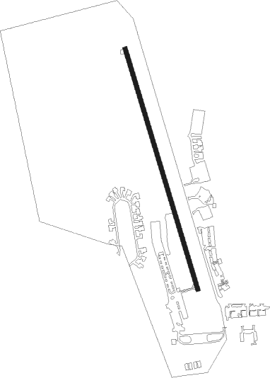
Runway info
| Runway 16 / 34 | ||
| length | 918m (3012ft) | |
| bearing | 163° / 343° | |
| width | 15m (50ft) | |
| surface | asphalt | |
Nearby beacons
| code | identifier | dist | bearing | frequency |
|---|---|---|---|---|
| SP | SNORE (SPENCER) NDB | 12.3 | 231° | 394 |
| SPW | SPENCER VOR/DME | 13.7 | 195° | 110 |
| OT | WONDD (WORTHINGTON) NDB | 19.7 | 305° | 277 |
| OTG | WORTHINGTON VOR/DME | 24.7 | 300° | 110.60 |
| EGQ | EMMETSBURG NDB | 25.5 | 124° | 410 |
| FRM | DME | 34.8 | 70° | 110.20 |
| FNX | DME | 35 | 71° | 114.25 |
| FQ | MONTZ (FAIRMONT) NDB | 37.5 | 77° | 420 |
| FOD | FORT DODGE VORTAC | 59.5 | 133° | 113.50 |
| FO | BARRO (FORT DODGE) NDB | 63.9 | 136° | 341 |
Disclaimer
The information on this website is not for real aviation. Use this data with the X-Plane flight simulator only! Data taken with kind consent from X-Plane 12 source code and data files. Content is subject to change without notice.