Eufaula - Fountainhead Lodge Airpark
Airport details
| Country | United States of America |
| State | Oklahoma |
| Region | K4 |
| Airspace | Ft Worth Ctr |
| Municipality | McIntosh County |
| Elevation | 666ft (203m) |
| Timezone | GMT -6 |
| Coordinates | 35.38867, -95.60028 |
| Magnetic var | |
| Type | land |
| Available since | X-Plane v10.40 |
| ICAO code | 0F7 |
| IATA code | n/a |
| FAA code | n/a |
Communication
| Fountainhead Lodge Airpark CTAF | 122.900 |
Nearby Points of Interest:
First United Methodist Church
-Oklahoma Odd Fellows Home at Checotah
-Nichols Park
-St. Thomas Primitive Baptist Church
-Eastside Baptist Church
-First Baptist Central Church
-Grant Foreman House
-V. R. Coss House
-Ed Edmondson United States Courthouse
-A.W. Patterson House
-A. C. Trumbo House
-Severs Hotel
-Manhattan Building
-Surety Building
-Railway Exchange Building
-Ward Chapel AME Church
-First Baptist Church
-Central Baptist Church
-Robbers Cave State Park
-McAlester House
-St. Joseph's Catholic Church
-McAlester Scottish Rite Temple
-International Temple, Supreme Assembly, Order of the Rainbow for Girls
-First Presbyterian Church
-Cole Chapel School
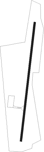
Runway info
| Runway 18 / 36 | ||
| length | 918m (3012ft) | |
| bearing | 194° / 14° | |
| width | 15m (50ft) | |
| surface | asphalt | |
| displ threshold | 65m (213ft) / 0m (0ft) | |
Nearby beacons
| code | identifier | dist | bearing | frequency |
|---|---|---|---|---|
| HET | HENRYETTA NDB | 20.2 | 272° | 267 |
| OKM | OKMULGEE VOR/DME | 22.4 | 319° | 114.90 |
| OK | PRESO (OKMULGEE) NDB | 27.8 | 316° | 388 |
| MLC | MCALESTER TACAN | 33.5 | 199° | 112 |
| GNP | (TULSA) DME | 36.6 | 325° | 110.60 |
| TU | OILLR (TULSA) NDB | 44.8 | 338° | 338 |
| TUL | TULSA VORTAC | 49.3 | 347° | 114.40 |
| PGO | RICH MOUNTAIN (PAGE) VORTAC | 64.6 | 126° | 113.50 |
Disclaimer
The information on this website is not for real aviation. Use this data with the X-Plane flight simulator only! Data taken with kind consent from X-Plane 12 source code and data files. Content is subject to change without notice.