Dover - Chandelle Estates
Airport details
| Country | United States of America |
| State | Delaware |
| Region | |
| Airspace | Washington Ctr |
| Municipality | Kent County |
| Elevation | 20ft (6m) |
| Timezone | GMT -5 |
| Coordinates | 39.19922, -75.48746 |
| Magnetic var | |
| Type | land |
| Available since | X-Plane v10.40 |
| ICAO code | 0N4 |
| IATA code | n/a |
| FAA code | 0N4 |
Communication
| Chandelle Estates CTAF/UNICOM | 122.800 |
Nearby Points of Interest:
Octagonal Schoolhouse
-Wheel of Fortune
-Victorian Dover Historic District
-Old Stone Tavern
-Delaware Governor's Mansion
-Loockerman Hall
-Little Creek Methodist Church
-Jonathan Woodley House
-John Bullen House
-Raymond Neck Historic District
-Bradford-Loockerman House
-Christ Church
-Greenwold (Dover, Delaware)
-Dover Green Historic District
-Eden Hill
-Mahon River Light
-Great Geneva
-Hoffecker-Lockwood House
-Camden Historic District
-Zion African Methodist Episcopal Church
-Wyoming Historic District
-Camden Friends Meetinghouse
-Wyoming Railroad Station
-Star Hill AME Church
-Town Point
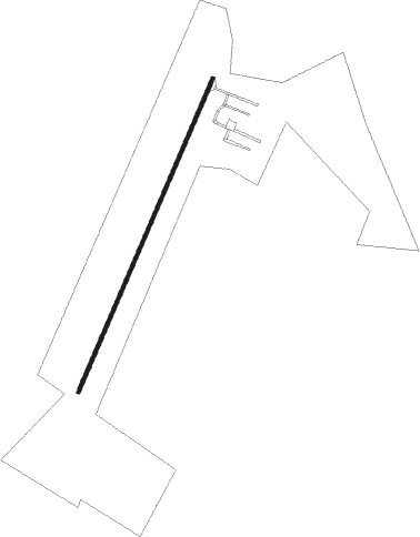
Runway info
| Runway 4 / 22 | ||
| length | 772m (2533ft) | |
| bearing | 34° / 214° | |
| width | 9m (28ft) | |
| surface | asphalt | |
| displ threshold | 164m (538ft) / 164m (538ft) | |
Nearby beacons
| code | identifier | dist | bearing | frequency |
|---|---|---|---|---|
| ENO | SMYRNA (KENTON) VORTAC | 2.3 | 319° | 111.40 |
| DOV | DOVER TACAN | 4.1 | 163° | 110 |
| RNB | RAINBOW (MILLVILLE) NDB | 21 | 58° | 363 |
| IL | HADIN (WILMINGTON) NDB | 23.6 | 342° | 248 |
| ATR | WATERLOO VOR/DME | 26.7 | 145° | 112.60 |
| OOD | WOODSTOWN VORTAC | 27.5 | 23° | 112.80 |
| DQO | DUPONT (WILMINGTON) VORTAC | 29.2 | 346° | 114 |
| VCN | CEDAR LAKE (MILLVILLE) VOR/DME | 31.5 | 57° | 115.20 |
| SIE | SEA ISLE VORTAC | 32.6 | 99° | 114.80 |
| MTN | MARTIN (BALTIMORE) TACAN | 43.6 | 278° | 134.10 |
| MXE | MODENA VORTAC | 43.9 | 346° | 113.20 |
| ACY | ATLANTIC CITY VORTAC | 45 | 74° | 108.60 |
| SBY | SALISBURY VORTAC | 51.3 | 182° | 111.20 |
| OX | LANDY (OCEAN CITY) NDB | 52 | 161° | 407 |
| ING | AMBLER NDB | 56.4 | 12° | 275 |
| GXU | MC GUIRE (WRIGHTSTOWN) VORTAC | 63.7 | 48° | 110.60 |
| LRP | LANCASTER VOR/DME | 66.6 | 319° | 117.30 |
| PXT | PATUXENT (PATUXENT RIVER) VORTAC | 69.4 | 225° | 117.60 |
| NHK | PATUXENT NDB | 69.6 | 225° | 400 |
| NHK | NAS PATUXENT RIVER TACAN | 70 | 225° | 110.25 |
Disclaimer
The information on this website is not for real aviation. Use this data with the X-Plane flight simulator only! Data taken with kind consent from X-Plane 12 source code and data files. Content is subject to change without notice.