Baker
Airport details
| Country | United States of America |
| State | California |
| Region | K2 |
| Airspace | Los Angeles Ctr |
| Municipality | San Bernardino County |
| Elevation | 920ft (280m) |
| Timezone | GMT -8 |
| Coordinates | 35.28628, -116.08136 |
| Magnetic var | |
| Type | land |
| Available since | X-Plane v10.32 |
| ICAO code | 0O2 |
| IATA code | n/a |
| FAA code | n/a |
Communication
| Baker KDAG AWOS | 132.175 |
| Baker CTAF | 122.900 |
| Baker Los Angeles Barstow | 126.350 |
Nearby Points of Interest:
Cima Dome & Volcanic Field National Natural Landmark
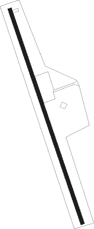
Runway info
| Runway 15 / 33 | ||
| length | 958m (3143ft) | |
| bearing | 163° / 343° | |
| width | 15m (50ft) | |
| surface | asphalt | |
Nearby beacons
| code | identifier | dist | bearing | frequency |
|---|---|---|---|---|
| DAG | DAGGETT VORTAC | 31.2 | 237° | 113.20 |
| HEC | HECTOR VORTAC | 34.8 | 218° | 112.70 |
| GFS | GOFFS VORTAC | 45.3 | 100° | 114.40 |
| GOG | DME | 46.3 | 44° | 112.05 |
| LAS | LAS VEGAS VORTAC | 65.5 | 49° | 116.90 |
Disclaimer
The information on this website is not for real aviation. Use this data with the X-Plane flight simulator only! Data taken with kind consent from X-Plane 12 source code and data files. Content is subject to change without notice.