Shelter Cove
Airport details
| Country | United States of America |
| State | California |
| Region | K2 |
| Airspace | Oakland Ctr |
| Municipality | Humboldt County |
| Elevation | 66ft (20m) |
| Timezone | GMT -8 |
| Coordinates | 40.02817, -124.07430 |
| Magnetic var | |
| Type | land |
| Available since | X-Plane v10.40 |
| ICAO code | 0Q5 |
| IATA code | n/a |
| FAA code | 0Q5 |
Communication
| Shelter Cove CTAF | 122.900 |
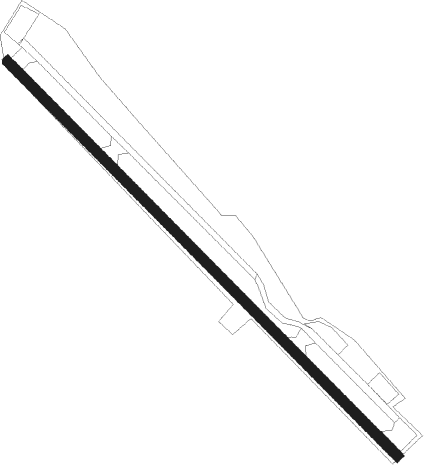
Runway info
| Runway 12 / 30 | ||
| length | 1036m (3399ft) | |
| bearing | 132° / 312° | |
| width | 18m (60ft) | |
| surface | asphalt | |
| displ threshold | 32m (105ft) / 153m (502ft) | |
Nearby beacons
| code | identifier | dist | bearing | frequency |
|---|---|---|---|---|
| FOT | FORTUNA VORTAC | 39.3 | 346° | 114 |
| ACV | ARCATA VOR/DME | 57.2 | 358° | 115.05 |
| UK | KEARN (UKIAH) NDB | 59.3 | 132° | 371 |
| ENI | MENDOCINO (UKIAH) VORTAC | 69.2 | 141° | 112.30 |
Disclaimer
The information on this website is not for real aviation. Use this data with the X-Plane flight simulator only! Data taken with kind consent from X-Plane 12 source code and data files. Content is subject to change without notice.