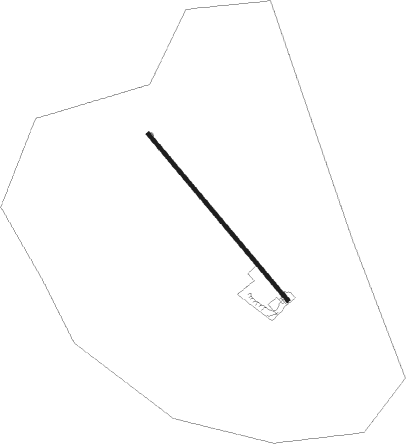
Campbellton - Seventy Four Ranch
Airport details
| Country | United States of America |
| State | Texas |
| Region | K4 |
| Airspace | Houston Oceanic Ctr |
| Municipality | Atascosa County |
| Elevation | 318ft (97m) |
| Timezone | GMT -6 |
| Coordinates | 28.68538, -98.38312 |
| Magnetic var | |
| Type | land |
| Available since | X-Plane v10.40 |
| ICAO code | 0XA5 |
| IATA code | n/a |
| FAA code | 0XA5 |
Communication
Nearby Points of Interest:
Frederick and Sallie Lyons House
Runway info
| Runway 14 / 32 | ||
| length | 1190m (3904ft) | |
| bearing | 141° / 321° | |
| width | 23m (75ft) | |
| surface | asphalt | |
Nearby beacons
| code | identifier | dist | bearing | frequency |
|---|---|---|---|---|
| THX | THREE RIVERS VORTAC | 16.3 | 128° | 111.40 |
| SSF | STINSON (SAN ANTONIO) VOR | 34.5 | 354° | 108.40 |
| HHH | DEVINE NDB | 39.9 | 309° | 359 |
| COT | COTULLA VORTAC | 41 | 253° | 115.80 |
| KSY | KELLY (SAN ANTONIO) TACAN | 43.6 | 344° | 112 |
| RND | RANDOLPH VORTAC | 50.3 | 7° | 112.30 |
| NOG | ORANGE GROVE TACAN | 50.7 | 157° | 133.60 |
| DHK | RANDOLPH TACAN | 51.4 | 8° | 109.90 |
| AN | ALAMO (SAN ANTONIO) NDB | 56.2 | 349° | 368 |
| SAT | SAN ANTONIO VORTAC | 57.7 | 355° | 116.80 |
| ALI | ALICE VOR | 59.9 | 159° | 114.50 |
| CRP | CORPUS CHRISTI VORTAC | 68.3 | 130° | 115.50 |
Instrument approach procedures
| runway | airway (heading) | route (dist, bearing) |
|---|---|---|
| RW14 | LEMIG (158°) | LEMIG OZKUJ (8mi, 187°) 3000ft |
| RW14 | MILET (96°) | MILET YEVUK (9mi, 67°) 4000ft OZKUJ (7mi, 67°) 3000ft |
| RW14 | OZKUJ (141°) | OZKUJ 3000ft |
| RNAV | OZKUJ 3000ft WAVRI (7mi, 141°) 1900ft JIMUX (3mi, 141°) 880ft 0XA5 (2mi, 141°) 357ft (5846mi, 106°) 600ft ZIVAL (5840mi, 286°) 3000ft ZIVAL (turn) | |
| RW32 | THX (308°) | THX ZIVAL (6mi, 281°) 3000ft |
| RW32 | ZIVAL (321°) | ZIVAL 3000ft |
| RNAV | ZIVAL 3000ft HUTAV (7mi, 321°) 1900ft ODEDY (3mi, 321°) 920ft 0XA5 (2mi, 321°) 322ft (5846mi, 106°) 620ft OZKUJ (5853mi, 286°) 3000ft OZKUJ (turn) |
Disclaimer
The information on this website is not for real aviation. Use this data with the X-Plane flight simulator only! Data taken with kind consent from X-Plane 12 source code and data files. Content is subject to change without notice.
