New Milford - Candlelight Farms
Airport details
| Country | United States of America |
| State | Connecticut |
| Region | |
| Airspace | Boston Ctr |
| Municipality | New Milford |
| Elevation | 671ft (205m) |
| Timezone | GMT -5 |
| Coordinates | 41.56763, -73.46025 |
| Magnetic var | |
| Type | land |
| Available since | X-Plane v10.40 |
| ICAO code | 11N |
| IATA code | n/a |
| FAA code | 11N |
Communication
Nearby Points of Interest:
Sherman Historic District
-Carl F. Schoverling Tobacco Warehouse
-New Milford Railroad Station
-J. S. Halpine Tobacco Warehouse
-Merritt Beach & Son Building
-E. A. Wildman & Co. Tobacco Warehouse
-United Bank Building
-Oblong Friends Meeting House
-Akin Free Library
-John Glover Noble House
-Frederick S. Sanford House
-Bridgewater Center Historic District
-Merryall Union Evangelical Society Chapel
-Hunt Hill Farm
-Cosier-Murphy House
-John Kane House
-Williams House
-St. Andrew's Episcopal Church
-Calhoun-Ives Historic District
-Capt. Philo Beardsley House
-The Hollister Homestead
-John Glover House
-Ball and Roller Bearing Company
-Meeker's Hardware
-Leroy Anderson House
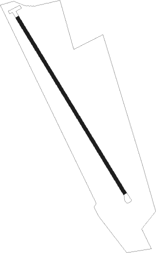
Runway info
| Runway 17 / 35 | ||
| length | 884m (2900ft) | |
| bearing | 146° / 326° | |
| width | 15m (50ft) | |
| surface | grass | |
Nearby beacons
| code | identifier | dist | bearing | frequency |
|---|---|---|---|---|
| PWL | PAWLING (POUGHKEEPSIE) VOR/DME | 13.6 | 325° | 114.30 |
| IGN | KINGSTON VOR/DME | 17.2 | 285° | 117.60 |
| CMK | CARMEL VOR/DME | 18.1 | 203° | 116.60 |
| SKU | STANWYCK (NEWBURGH) NDB | 26.3 | 266° | 261 |
| BDR | BRIDGEPORT VOR/DME | 28.7 | 140° | 108.80 |
| HVN | HAVEN DME | 31.7 | 118° | 109.80 |
| SW | NEELY (NEWBURGH) NDB | 34.8 | 264° | 335 |
| MAD | MADISON VOR/DME | 37.7 | 108° | 110.40 |
| HFD | HARTFORD VOR/DME | 41.2 | 85° | 114.90 |
| PFH | PHILMONT (HUDSON) NDB | 42.8 | 339° | 272 |
| DPK | DEER PARK VOR/DME | 47.1 | 169° | 117.70 |
| FR | FRIKK (FARMINGDALE) NDB | 47.5 | 182° | 407 |
| CCC | CALVERTON VOR/DME | 48.5 | 134° | 117.20 |
| BAF | BARNES (WESTFIELD/SPRINGF VORTAC | 48.7 | 51° | 113 |
| CTR | CHESTER VOR/DME | 49 | 35° | 115.10 |
| LGA | LA GUARDIA (NEW YORK) VOR/DME | 50.5 | 208° | 113.10 |
| TEB | TETERBORO VOR/DME | 51 | 220° | 108.40 |
| TE | TORBY (TETERBORO) NDB | 54.9 | 221° | 214 |
| CEF | WESTOVER(SPRINGFIELD/CHIC TACAN | 56.3 | 56° | 114 |
| MM | MOREE (MORRISTOWN) NDB | 57.1 | 232° | 392 |
| FOK | SUFFOLK CO (WESTHAMPTON B TACAN | 57.6 | 131° | 111 |
| JFK | KENNEDY (NEW YORK) VOR/DME | 57.8 | 198° | 115.90 |
| CRI | CANARSIE VOR/DME | 60.6 | 204° | 112.30 |
| CAT | CHATHAM NDB | 66.2 | 230° | 254 |
Disclaimer
The information on this website is not for real aviation. Use this data with the X-Plane flight simulator only! Data taken with kind consent from X-Plane 12 source code and data files. Content is subject to change without notice.