Monument - Monument Muni
Airport details
| Country | United States of America |
| State | Oregon |
| Region | |
| Airspace | Seattle Ctr |
| Municipality | Grant County |
| Elevation | 2323ft (708m) |
| Timezone | GMT -8 |
| Coordinates | 44.83421, -119.43127 |
| Magnetic var | |
| Type | land |
| Available since | X-Plane v10.40 |
| ICAO code | 12S |
| IATA code | n/a |
| FAA code | 12S |
Communication
| Monument Muni CTAF | 129.900 |
Nearby Points of Interest:
James Cant Ranch
-Hardman IOOF Lodge Hall
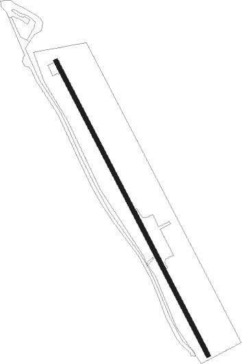
Runway info
| Runway 14 / 32 | ||
| length | 646m (2119ft) | |
| bearing | 149° / 329° | |
| width | 9m (29ft) | |
| surface | asphalt | |
Nearby beacons
| code | identifier | dist | bearing | frequency |
|---|---|---|---|---|
| IMB | KIMBERLY VOR/DME | 16.3 | 236° | 115.60 |
| PDT | PENDLETON VORTAC | 55.9 | 30° | 114.70 |
Disclaimer
The information on this website is not for real aviation. Use this data with the X-Plane flight simulator only! Data taken with kind consent from X-Plane 12 source code and data files. Content is subject to change without notice.