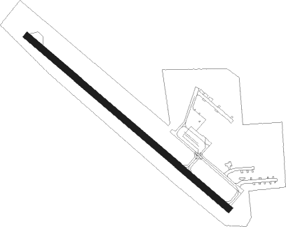
Le Sueur - Le Sueur Muni
Airport details
| Country | United States of America |
| State | Minnesota |
| Region | K3 |
| Airspace | Minneapolis Ctr |
| Municipality | Le Sueur |
| Elevation | 868ft (265m) |
| Timezone | GMT -6 |
| Coordinates | 44.44089, -93.91585 |
| Magnetic var | |
| Type | land |
| Available since | X-Plane v10.40 |
| ICAO code | 12Y |
| IATA code | n/a |
| FAA code | 12Y |
Communication
| Le Sueur Muni CTAF | 122.900 |
Nearby Points of Interest:
Dr. William W. Mayo House
-Methodist Episcopal Church
-Traverse des Sioux
-German Evangelical Salem Church
-Eugene Saint Julien Cox House
-Emily and Stephen Schumacher House
-Broadway Bridge
-St. Peter Armory
-Nicollet County Courthouse and Jail
-Union Presbyterian Church
-Le Sueur County Courthouse and Jail
-Hooper–Bowler–Hillstrom House
-Westerman Lumber Office and House
-Abraham Bisson House
-First National Bank of Mankato
-First Presbyterian Church
-Blue Earth County Courthouse
-Federal Courthouse and Post Office
-Old Main
-Lorin Cray House
-Renesselaer D. Hubbard House
-Foss and Wells House
-Jordan Brewery Ruins
-Minneopa State Park WPA/Rustic Style Historic Resources
-Norwood Methodist Episcopal Church
Nearby beacons
| code | identifier | dist | bearing | frequency |
|---|---|---|---|---|
| MKT | MANKATO VOR/DME | 13.2 | 179° | 110.80 |
| FOW | HALFWAY (MORRISTOWN) VOR/DME | 27.3 | 113° | 111.20 |
| FCM | FLYING CLOUD (MINNEAPOLIS VOR/DME | 30.6 | 51° | 117.70 |
| FGT | FARMINGTON VORTAC | 33.4 | 75° | 115.70 |
| OW | TONNA (OWATONNA) NDB | 39.4 | 116° | 379 |
| MSP | MINNEAPOLIS VOR/DME | 39.8 | 56° | 115.30 |
| DWN | DARWIN VORTAC | 45.1 | 320° | 109 |
| GEP | GOPHER (MINNEAPOLIS) VORTAC | 48.2 | 38° | 117.30 |
| AEL | ALBERT LEA VOR/DME | 51.3 | 144° | 109.80 |
| FRM | DME | 52.5 | 213° | 110.20 |
| FNX | DME | 52.7 | 212° | 114.25 |
| FQ | MONTZ (FAIRMONT) NDB | 54.9 | 205° | 420 |
| JAY | AUSTIN VOR/DME | 67.4 | 131° | 108.20 |
Disclaimer
The information on this website is not for real aviation. Use this data with the X-Plane flight simulator only! Data taken with kind consent from X-Plane 12 source code and data files. Content is subject to change without notice.