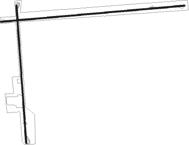
Markesan - Nowatzski Field
Airport details
| Country | United States of America |
| State | Wisconsin |
| Region | K5 |
| Airspace | Chicago Ctr |
| Municipality | Town of Mackford |
| Elevation | 918ft (280m) |
| Timezone | GMT -6 |
| Coordinates | 43.69637, -88.99956 |
| Magnetic var | |
| Type | land |
| Available since | X-Plane v10.40 |
| ICAO code | 13WI |
| IATA code | n/a |
| FAA code | 13WI |
Communication
Nearby Points of Interest:
Daniel and Catherine Ketchum Cobblestone House
-Zion Congregational Church
-Green Lake County Courthouse
-Green Lake Village Hall
-Hutchinson Memorial Library
-Brandon Village Hall and Library
-Princeton Downtown Historic District
-Baptist Church
-Jacob Woodruff House
-First Congregational Church
-St. Peter's Episcopal Church
-Martin K. Dahl House
-Waupun Correctional Institution
-Waupun Public Library
-Charles Samuel Richter House
-Sisson's Peony Gardens
-Weyenberg Shoe Factory
-Judson C. Cutter House
-Williams Free Library
-Chicago, Milwaukee and St. Paul Railway Company Passenger Depot
-Angie Williams Cox Library
-Belmont Hotel
-Pardeeville Presbyterian Church
-Berlin Post Office
-Nashold 20-sided Barn

Nearby beacons
| code | identifier | dist | bearing | frequency |
|---|---|---|---|---|
| UNU | JUNEAU NDB | 20.6 | 132° | 344 |
| OS | POBER (OSHKOSH) NDB | 21.9 | 68° | 395 |
| OSH | OSHKOSH VORTAC | 26 | 56° | 116.75 |
| RYV | ROCK RIVER (WATERTOWN) NDB | 33.5 | 152° | 371 |
| DLL | DELLS (BARABOO) VORTAC | 34.3 | 259° | 117 |
| MSN | MADISON VORTAC | 36.2 | 212° | 108.60 |
| AQ | KOOKY (APPLETON) NDB | 40.5 | 49° | 407 |
| BJB | WEST BEND VOR | 41.4 | 107° | 109.80 |
| BAE | BADGER (MILWAUKEE) VOR/DME | 46.7 | 129° | 116.40 |
| LJT | (MILWAUKEE) DME | 54.8 | 121° | 115.65 |
| GR | FAMIS (GREEN BAY) NDB | 55.4 | 46° | 356 |
| SG | DEPRE (GREEN BAY) NDB | 56.3 | 51° | 332 |
| GRB | GREEN BAY VORTAC | 62.1 | 43° | 115.50 |
Disclaimer
The information on this website is not for real aviation. Use this data with the X-Plane flight simulator only! Data taken with kind consent from X-Plane 12 source code and data files. Content is subject to change without notice.