Westport
Airport details
| Country | United States of America |
| State | Washington |
| Region | |
| Airspace | Seattle Ctr |
| Municipality | Westport |
| Elevation | 3ft (1m) |
| Timezone | GMT -8 |
| Coordinates | 46.89925, -124.10400 |
| Magnetic var | |
| Type | land |
| Available since | X-Plane v10.40 |
| ICAO code | 14S |
| IATA code | n/a |
| FAA code | 14S |
Communication
| Westport CTAF | 122.900 |
Nearby Points of Interest:
Masonic Temple-Hoquiam
-Carnegie Library
-Hoquiam's Castle
-Sierra
-Lumber Exchange Building
-Raymond Theatre
-The Wreckage
-Klipsan Beach Life Saving Station
-Chow Chow Bridge
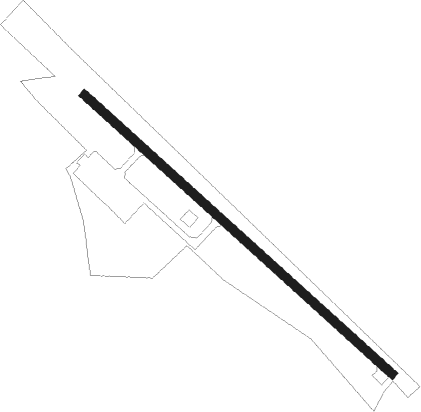
Runway info
| Runway 12 / 30 | ||
| length | 706m (2316ft) | |
| bearing | 126° / 306° | |
| width | 15m (49ft) | |
| surface | asphalt | |
Nearby beacons
| code | identifier | dist | bearing | frequency |
|---|---|---|---|---|
| HQM | HOQUIAM VORTAC | 3.4 | 317° | 117.70 |
| AST | ASTORIA VOR/DME | 45.2 | 163° | 114 |
Disclaimer
The information on this website is not for real aviation. Use this data with the X-Plane flight simulator only! Data taken with kind consent from X-Plane 12 source code and data files. Content is subject to change without notice.