Wadsworth - Weltzien Skypark
Airport details
| Country | United States of America |
| State | Ohio |
| Region | |
| Airspace | Cleveland Ctr |
| Municipality | Guilford Township |
| Elevation | 1208ft (368m) |
| Timezone | GMT -5 |
| Coordinates | 41.02565, -81.79967 |
| Magnetic var | |
| Type | land |
| Available since | X-Plane v10.40 |
| ICAO code | 15G |
| IATA code | n/a |
| FAA code | 15G |
Communication
Nearby Points of Interest:
Ezekiel B. Zimmerman Octagon House
-Medina Masonic Temple and Medina Theater
-Anna-Dean Farm
-O. C. Barber Piggery
-O. C. Barber Barn No. 1
-O. C. Barber Creamery
-Ault-Weygandt Farm
-O. C. Barber Colt Barn
-Frank Mason Raymond House
-Dr. Robert Smith House
-Akron Jewish Center
-Grace Reformed Church
-Akron YMCA Building
-Akron Rural Cemetery Buildings
-Lutz-Martin Farm
-Huntington Tower
-Summit County Courthouse
-Cascade Locks Historic District
-The Gothic Building
-Botzum Farm
-Akron Public Library
-Eagles Temple
-Akron Post Office and Federal Building
-William and Eugene Cranz Farm
-St. Paul's Sunday School and Parish House
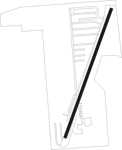
Runway info
| Runway 3 / 21 | ||
| length | 658m (2159ft) | |
| bearing | 31° / 211° | |
| width | 15m (49ft) | |
| surface | asphalt | |
Nearby beacons
| code | identifier | dist | bearing | frequency |
|---|---|---|---|---|
| AK | AKRON NDB | 18.8 | 84° | 362 |
| BSV | BRIGGS VOR/DME | 23.9 | 128° | 112.40 |
| DJB | DRYER VOR/DME | 25.8 | 313° | 113.60 |
| ACO | AKRON VOR/DME | 27.5 | 82° | 114.40 |
| MF | MANNS (MANSFIELD) NDB | 33.1 | 248° | 372 |
| BF | TABEY (CLEVELAND) NDB | 34.1 | 23° | 248 |
| MFD | MANSFIELD VORTAC | 37.1 | 259° | 108.80 |
| CXR | CHARDON VOR/DME | 41.1 | 52° | 112.70 |
| LQL | LAKELAND (WILLOUGHBY) NDB | 43.7 | 33° | 263 |
| CTW | DME | 50 | 158° | 111.80 |
| CFX | CADIZ NDB | 59.4 | 135° | 239 |
| APE | APPLETON VORTAC | 63.6 | 222° | 116.70 |
Disclaimer
The information on this website is not for real aviation. Use this data with the X-Plane flight simulator only! Data taken with kind consent from X-Plane 12 source code and data files. Content is subject to change without notice.