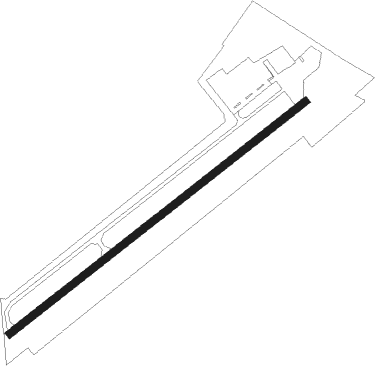
Tiffin - Seneca Co
Airport details
| Country | United States of America |
| State | Ohio |
| Region | K5 |
| Airspace | Cleveland Ctr |
| Municipality | Hopewell Township |
| Elevation | 786ft (240m) |
| Timezone | GMT -5 |
| Coordinates | 41.09406, -83.21250 |
| Magnetic var | |
| Type | land |
| Available since | X-Plane v10.40 |
| ICAO code | 16G |
| IATA code | n/a |
| FAA code | n/a |
Communication
| Seneca Co CTAF/UNICOM | 123.000 |
| Seneca Co TOLEDO ApproachROACH | 120.800 |
| Seneca Co TOLEDO DepartureARTURE | 120.800 |
Nearby Points of Interest:
Bagby-Hossler House
-Aigler Alumni Building
-The Octagon
-Michaels Farm
-Col. Crawford Burn Site Monument
-Soldiers and McKinley Memorial Parkways
-Spiegel Grove
-Joseph and Rachel Bartlett House
-Frederick Fabing House
-Sandusky County Jail and Sheriff's House
-Armstrong Farm
-First Hancock County Courthouse
-Crawford County Courthouse
-Adams School
-John Wright Mansion
-Christopher C. Layman Law Office
-Georg Cronenwett House
-Zion Episcopal Church
-John Hosford House
-Wood County Courthouse and Jail
-Old School Privy
-Floral Hall
-Huron County Courthouse and Jail
-Palace Theatre
-Marion County Courthouse
Nearby beacons
| code | identifier | dist | bearing | frequency |
|---|---|---|---|---|
| TII | TIFFIN NDB | 0.1 | 284° | 269 |
| FBC | FLAG CITY VORTAC | 25.9 | 256° | 108.20 |
| BUD | BUCKEYE (MARION) VOR | 29.4 | 163° | 109.80 |
| PCW | PORT CLINTON NDB | 29.8 | 39° | 423 |
| MFD | MANSFIELD VORTAC | 31.2 | 110° | 108.80 |
| MF | MANNS (MANSFIELD) NDB | 40 | 113° | 372 |
| TOL | TOLEDO TACAN | 40 | 310° | 112.50 |
| TO | TOPHR (TOLEDO) NDB | 42.2 | 303° | 219 |
| CRL | CARLETON VOR/DME | 58.3 | 346° | 115.70 |
| ADG | ADRIAN NDB | 60.7 | 312° | 278 |
| ROD | ROSEWOOD VORTAC | 61.4 | 226° | 117.50 |
| APE | APPLETON VORTAC | 63.3 | 146° | 116.70 |
| TCU | TECUMSEH NDB | 64 | 324° | 239 |
Instrument approach procedures
| runway | airway (heading) | route (dist, bearing) |
|---|---|---|
| RW06 | MAZKY (63°) | MAZKY 2400ft |
| RNAV | MAZKY 2400ft CANAB (6mi, 63°) 2400ft AHOVI (2mi, 63°) 1780ft 16G (3mi, 63°) 824ft (5098mi, 116°) 1137ft VOBRY (5089mi, 296°) 2400ft VOBRY (turn) | |
| RW24 | CEKUN (212°) | CEKUN VOBRY (9mi, 156°) 2400ft |
| RW24 | ELIJA (256°) | ELIJA VOBRY (7mi, 274°) 2400ft |
| RW24 | VOBRY (243°) | VOBRY 2400ft |
| RNAV | VOBRY 2400ft TIPEJ (7mi, 243°) 2400ft 16G (5mi, 243°) 819ft (5098mi, 116°) 1058ft MAZKY (5107mi, 296°) 2400ft MAZKY (turn) |
Disclaimer
The information on this website is not for real aviation. Use this data with the X-Plane flight simulator only! Data taken with kind consent from X-Plane 12 source code and data files. Content is subject to change without notice.