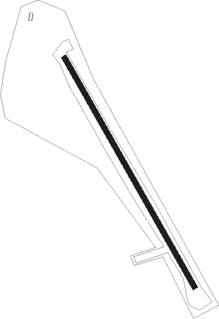
Bullhead City - Willow Springs Ranch
Airport details
| Country | United States of America |
| State | Arizona |
| Region | |
| Airspace | Los Angeles Ctr |
| Municipality | Mohave County |
| Elevation | 3750ft (1143m) |
| Timezone | GMT -7 |
| Coordinates | 35.29773, -114.37450 |
| Magnetic var | |
| Type | land |
| Available since | X-Plane v10.40 |
| ICAO code | 1AZ8 |
| IATA code | n/a |
| FAA code | 1AZ8 |
Communication
| Willow Springs Ranch ATIS at IFP (12.5 SW) | 119.825 |
Nearby Points of Interest:
Homestake Mine
-Grapevine Canyon Petroglyphs
-Oatman Drug Company Building
-House at 809 Grand View
-Tyrell House
-Mohave County Hospital
-Atchison, Topeka and Santa Fe Railway 3759
-House at 105 Spring St.
-W. P. Mahoney House
-AT&T Building
-G. H. Sullivan Lodging House
-Foster S. Dennis House
-Saint Mary's Catholic Church
-J. B. Wright House
-Mohave County Courthouse and Jail
-Elk's Lodge No. 468
-Little Red School
-Masonic Temple
-Max J. Anderson House
-Bonelli House
-Kingman Commercial Historic District
-Saint John's Methodist Episcopal Church
-Kingman Grammar School
-Ross E. Householder House
-Van Marter Building
Nearby beacons
| code | identifier | dist | bearing | frequency |
|---|---|---|---|---|
| IGM | KINGMAN VOR/DME | 21.7 | 95° | 108.80 |
| EED | NEEDLES VORTAC | 32.3 | 191° | 115.20 |
| GFS | GOFFS VORTAC | 40.6 | 258° | 114.40 |
| PGS | PEACH SPRINGS VOR/DME | 45.1 | 68° | 112 |
| BLD | BOULDER CITY VORTAC | 48.2 | 325° | 116.70 |
| LAS | LAS VEGAS VORTAC | 60.6 | 315° | 116.90 |
| LSV | NELLIS (LAS VEGAS) TACAN | 65.1 | 326° | 135.50 |
Disclaimer
The information on this website is not for real aviation. Use this data with the X-Plane flight simulator only! Data taken with kind consent from X-Plane 12 source code and data files. Content is subject to change without notice.