Edgartown - Katama Airpark
Airport details
| Country | United States of America |
| State | Massachusetts |
| Region | K6 |
| Airspace | Boston Ctr |
| Municipality | Edgartown |
| Elevation | 18ft (5m) |
| Timezone | GMT -5 |
| Coordinates | 41.35845, -70.52447 |
| Magnetic var | |
| Type | land |
| Available since | X-Plane v10.40 |
| ICAO code | 1B2 |
| IATA code | n/a |
| FAA code | n/a |
Communication
| KATAMA AIRPARK CTAF/UNICOM | 122.800 |
Nearby Points of Interest:
Union Chapel
-Dr. Harrison A. Tucker Cottage
-Ritter House
-Old Mill
-Tashmoo Springs Pumping Station
-William Street Historic District
-West Chop Club Historic District
-Barn House
-Woods Hole School
-Central Fire Station
-Lawrence Academy
-Poor House and Methodist Cemetery
-Falmouth Village Green Historic District
-Gay Head-Aquinnah Town Center Historic District
-Teaticket School
-Josiah Tobey House
-Falmouth Pumping Station
-Waquoit Historic District
-Edwin DeVries Vanderhoop Homestead
-West Falmouth Village Historic District
-Col. Charles Codman Estate
-Cotuit Historic District
-Crowell-Bourne Farm
-Ebenezer Crocker Jr. House
-Harlow Homestead
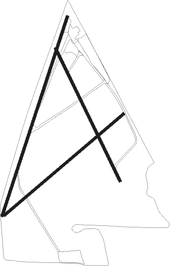
Runway info
Runway 03 / 21  | ||
| length | 1106m (3629ft) | |
| bearing | 29° / 209° | |
| width | 15m (50ft) | |
| surface | grass | |
| displ threshold | 107m (351ft) / 95m (312ft) | |
| Runway 06 / 24 | ||
| length | 827m (2713ft) | |
| bearing | 62° / 242° | |
| width | 15m (50ft) | |
| surface | grass | |
| displ threshold | 72m (236ft) / 21m (69ft) | |
| Runway 17 / 35 | ||
| length | 775m (2543ft) | |
| bearing | 152° / 332° | |
| width | 15m (50ft) | |
| surface | grass | |
| displ threshold | 106m (348ft) / 14m (46ft) | |
Nearby beacons
| code | identifier | dist | bearing | frequency |
|---|---|---|---|---|
| MVY | MARTHA'S VINEYARD VOR/DME | 4.5 | 293° | 114.50 |
| FMH | OTIS (FALMOUTH) TACAN | 18 | 2° | 115.80 |
| ACK | NANTUCKET VOR/DME | 22.9 | 99° | 116.20 |
| HY | BOGEY (HYANNIS) NDB | 25.8 | 42° | 342 |
| CQX | NAUSET (CHATHAM) NDB | 31.3 | 58° | 279 |
| PVC | PROVINCETOWN NDB | 44.7 | 23° | 389 |
| LFV | MARCONI (NORTH TRURO) VOR/DME | 45.1 | 36° | 114.70 |
| PVD | PROVIDENCE VOR/DME | 46.2 | 292° | 115.60 |
| OW | STOGE (NORWOOD) NDB | 53.1 | 322° | 397 |
| BOS | BOSTON VOR/DME | 63.5 | 335° | 112.70 |
Disclaimer
The information on this website is not for real aviation. Use this data with the X-Plane flight simulator only! Data taken with kind consent from X-Plane 12 source code and data files. Content is subject to change without notice.