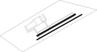
Hollister - Frazier Lake Airpark
Airport details
| Country | United States of America |
| State | California |
| Region | |
| Airspace | Oakland Ctr |
| Municipality | San Benito County |
| Elevation | 149ft (45m) |
| Timezone | GMT -8 |
| Coordinates | 36.95162, -121.46684 |
| Magnetic var | |
| Type | land |
| Available since | X-Plane v10.40 |
| ICAO code | 1C9 |
| IATA code | n/a |
| FAA code | 1C9 |
Communication
| Frazier Lake Airpark AWOS KCVH | 120.425 |
| Frazier Lake Airpark CTAF Frequency | 123.050 |
| Frazier Lake Airpark Tower Frequency | 123.050 |
Nearby beacons
| code | identifier | dist | bearing | frequency |
|---|---|---|---|---|
| SNS | SALINAS VORTAC | 18.4 | 205° | 117.30 |
| UAD | CHUALAR (SALINAS) NDB | 27.6 | 181° | 263 |
| MR | MUNSO (MONTEREY) NDB | 30.1 | 235° | 385 |
| SJC | SAN JOSE VOR/DME | 34.1 | 312° | 114.10 |
| PXN | PANOCHE VORTAC | 35.9 | 109° | 112.60 |
| NUQ | MOFFETT (MOUNTAIN VIEW) TACAN | 40.4 | 309° | 117.60 |
| LV | REIGA (LIVERMORE) NDB | 45.6 | 344° | 374 |
| BSR | BIG SUR VORTAC | 47 | 193° | 114 |
| OSI | WOODSIDE VOR/DME | 47.1 | 298° | 113.90 |
| MOD | MODESTO VOR/DME | 47.3 | 37° | 114.60 |
| OAK | OAKLAND VOR/DME | 58.8 | 316° | 116.80 |
| SFO | SAN FRANCISCO VOR/DME | 59 | 306° | 115.80 |
| HGT | HUNTER LIGGETT NDB | 60.9 | 164° | 209 |
Disclaimer
The information on this website is not for real aviation. Use this data with the X-Plane flight simulator only! Data taken with kind consent from X-Plane 12 source code and data files. Content is subject to change without notice.

