Milbank - Milbank Muni
Airport details
| Country | United States of America |
| State | South Dakota |
| Region | K3 |
| Airspace | Minneapolis Ctr |
| Municipality | Grant County |
| Elevation | 1116ft (340m) |
| Timezone | GMT -6 |
| Coordinates | 45.23050, -96.56609 |
| Magnetic var | |
| Type | land |
| Available since | X-Plane v10.40 |
| ICAO code | 1D1 |
| IATA code | n/a |
| FAA code | n/a |
Communication
| Milbank Muni CTAF/UNICOM | 122.800 |
Nearby Points of Interest:
First Congregational Church of Milbank
-Grant County Courthouse
-Big Stone County Courthouse
-First State Bank Building
-Swedish Lutheran Church of Strandburg
-Chicago, Milwaukee, St. Paul and Pacific Depot
-Lac Qui Parle County Courthouse
-Madison Carnegie Library
-Graceville Historical Marker
-Appleton City Hall
-Gethsemane Episcopal Church
-Browns Valley Carnegie Library
-Lebanon Lutheran Church
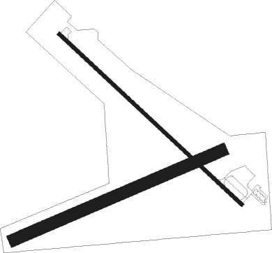
Runway info
Runway 13 / 31  | ||
| length | 1221m (4006ft) | |
| bearing | 127° / 307° | |
| width | 18m (60ft) | |
| surface | concrete | |
| Runway 07 / 25 | ||
| length | 1099m (3606ft) | |
| bearing | 77° / 257° | |
| width | 60m (197ft) | |
| surface | grass | |
Nearby beacons
| code | identifier | dist | bearing | frequency |
|---|---|---|---|---|
| ATY | WATERTOWN VORTAC | 28.6 | 246° | 116.60 |
| MOX | MORRIS VOR/DME | 32.2 | 61° | 109.60 |
| MVE | MONTEVIDEO VOR/DME | 39.3 | 107° | 111.60 |
| GB | GARNO (MARSHALL) NDB | 51.8 | 138° | 253 |
| BK | CHRLZ (BROOKINGS) NDB | 55 | 203° | 335 |
| MML | MARSHALL VOR/DME | 56.5 | 137° | 111 |
| FF | HAMRE (FERGUS FALLS) NDB | 63.1 | 27° | 337 |
Instrument approach procedures
| runway | airway (heading) | route (dist, bearing) |
|---|---|---|
| RW31 | FOFZE (285°) | FOFZE IYJER (5mi, 237°) 3400ft |
| RW31 | IYJER (307°) | IYJER 3400ft |
| RW31 | LUZOL (336°) | LUZOL IYJER (5mi, 57°) 3400ft |
| RNAV | IYJER 3400ft UCUDA (5mi, 308°) 2800ft 1D1 (5mi, 306°) 1155ft (5683mi, 115°) 1517ft MORRE (5689mi, 295°) 3400ft MORRE (turn) |
Disclaimer
The information on this website is not for real aviation. Use this data with the X-Plane flight simulator only! Data taken with kind consent from X-Plane 12 source code and data files. Content is subject to change without notice.