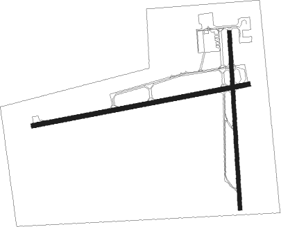
Pigeon Creek - Medina Muni
Airport details
| Country | United States of America |
| State | Ohio |
| Region | K5 |
| Airspace | Cleveland Ctr |
| Municipality | Sharon Township |
| Elevation | 1188ft (362m) |
| Timezone | GMT -5 |
| Coordinates | 41.13514, -81.76321 |
| Magnetic var | |
| Type | land |
| Available since | X-Plane v10.40 |
| ICAO code | 1G5 |
| IATA code | n/a |
| FAA code | n/a |
Communication
| Medina Muni CTAF/UNICOM | 123.000 |
| Medina Muni CLEVELAND Approach/Departure | 125.350 |
Nearby Points of Interest:
Medina Masonic Temple and Medina Theater
-Lutz-Martin Farm
-William and Eugene Cranz Farm
-Botzum Farm
-Edward Cranz Farm
-Lock No. 26
-Jim Brown House
-Anna-Dean Farm
-Dr. Robert Smith House
-Nathaniel Point Farm
-Allen Welton House
-Valley Railway Historic District
-Daniel Tilden House
-O. C. Barber Piggery
-Akron Jewish Center
-O. C. Barber Barn No. 1
-O. C. Barber Creamery
-Akron Rural Cemetery Buildings
-Cascade Locks Historic District
-Grace Reformed Church
-Akron YMCA Building
-O. C. Barber Colt Barn
-Huntington Tower
-Akron Public Library
-The Gothic Building

Nearby beacons
| code | identifier | dist | bearing | frequency |
|---|---|---|---|---|
| AK | AKRON NDB | 17.4 | 100° | 362 |
| DJB | DRYER VOR/DME | 22.4 | 299° | 113.60 |
| ACO | AKRON VOR/DME | 25.4 | 93° | 114.40 |
| BF | TABEY (CLEVELAND) NDB | 27.4 | 24° | 248 |
| BSV | BRIGGS VOR/DME | 28 | 140° | 112.40 |
| CXR | CHARDON VOR/DME | 35.4 | 58° | 112.70 |
| LQL | LAKELAND (WILLOUGHBY) NDB | 37.1 | 35° | 263 |
| MF | MANNS (MANSFIELD) NDB | 38 | 242° | 372 |
| MFD | MANSFIELD VORTAC | 40.7 | 252° | 108.80 |
| CTW | DME | 55.9 | 162° | 111.80 |
| CFX | CADIZ NDB | 63.8 | 140° | 239 |
| APE | APPLETON VORTAC | 70 | 220° | 116.70 |
Instrument approach procedures
| runway | airway (heading) | route (dist, bearing) |
|---|---|---|
| RW09 | DJB (119°) | DJB AXUBE (12mi, 136°) 3000ft FESTO (5mi, 171°) 2800ft |
| RW09 | HEGAD (64°) | HEGAD FESTO (5mi, 351°) 2800ft |
| RNAV | FESTO 2800ft JETRA (5mi, 85°) 2800ft 1G5 (5mi, 84°) 1219ft (5033mi, 117°) 1590ft FEPLI (5023mi, 297°) 2800ft FEPLI (turn) | |
| RW27 | BSV (320°) | BSV JEVET (20mi, 343°) 3100ft FEPLI (5mi, 352°) 3100ft |
| RW27 | CXR (238°) | CXR AVOBE (25mi, 234°) 3100ft FEPLI (5mi, 172°) 3100ft |
| RNAV | FEPLI 3100ft CALSU (5mi, 265°) 2800ft HEDIN (3mi, 265°) 1760ft 1G5 (2mi, 269°) 1213ft (5033mi, 117°) 1590ft FESTO (5043mi, 297°) 2800ft FESTO (turn) |
Disclaimer
The information on this website is not for real aviation. Use this data with the X-Plane flight simulator only! Data taken with kind consent from X-Plane 12 source code and data files. Content is subject to change without notice.