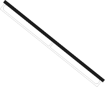
Shuqualak - Columbus Afb Aux Afld
Airport details
| Country | United States of America |
| State | Mississippi |
| Region | |
| Airspace | Memphis Ctr |
| Municipality | Noxubee County |
| Elevation | 258ft (79m) |
| Timezone | GMT -6 |
| Coordinates | 32.94609, -88.58673 |
| Magnetic var | |
| Type | land |
| Available since | X-Plane v10.40 |
| ICAO code | 1MS8 |
| IATA code | n/a |
| FAA code | 1MS8 |
Communication
Nearby Points of Interest:
Yates-Flora House
-Goodwin-Harrison House
-Porterville General Store
-Oakhurst (Emelle, Alabama)
-Gibbs House
-Colonel Green G. Mobley House
-Coffin Shop
-Fort Tombecbe
-Old US Post Office
-Downtown Philadelphia Historic District
-Sumter County Courthouse
-Hugh Wilson Hill House
-Pickens County Courthouse
-Everhope Plantation
-Boligee Hill
-Dr. James Alvis Beavers House
-South Columbus Historic District
-Harris-Banks House
-Charles McLaran House
-Weaver Place
-John Coleman House
Nearby beacons
| code | identifier | dist | bearing | frequency |
|---|---|---|---|---|
| NMM | MERIDIAN TACAN | 22.1 | 174° | 111.90 |
| IGB | BIGBEE (COLUMBUS) VORTAC | 32.6 | 8° | 116.20 |
| EWA | DME | 35.3 | 167° | 113.80 |
| MEI | MERIDIAN VORTAC | 35.8 | 201° | 117 |
| CBM | CALEDONIA (COLUMBUS) VORTAC | 42.4 | 12° | 115.20 |
| TC | TUSKE (TUSCALOOSA) NDB | 47.8 | 77° | 362 |
Disclaimer
The information on this website is not for real aviation. Use this data with the X-Plane flight simulator only! Data taken with kind consent from X-Plane 12 source code and data files. Content is subject to change without notice.
