Boonville - Boonville Inc
Airport details
| Country | United States of America |
| State | New York |
| Region | K6 |
| Airspace | Boston Ctr |
| Municipality | Town of Boonville |
| Elevation | 1200ft (366m) |
| Timezone | GMT -5 |
| Coordinates | 43.46674, -75.24961 |
| Magnetic var | |
| Type | land |
| Available since | X-Plane v10.40 |
| ICAO code | 1NK7 |
| IATA code | n/a |
| FAA code | 1NK7 |
Communication
Nearby Points of Interest:
United States Post Office
-Boonville Historic District
-Edmund Wilson House
-Constable Hall
-Otter Lake Community Church
-Constableville Village Historic District
-Gould Mansion Complex
-Ava Town Hall
-Western Town Hall
-Gen. William Floyd House
-Mappa Hall
-Holland Patent Stone Churches Historic District
-Holland Patent
-Russia Corners Historic District
-Wright Settlement Cemetery
-Gansevoort-Bellamy Historic District
-Fort Stanwix National Monument
-Thendara
-Benjamin Bowen House
-Yale-Cady Octagon House and Yale Lock Factory Site
-Newport Stone Arch Bridge
-Masonic Temple — Newport Lodge No. 445 F. & A.M.
-Norway Baptist Church
-Osceola Town Hall
-Whitestown Town Hall
Runway info
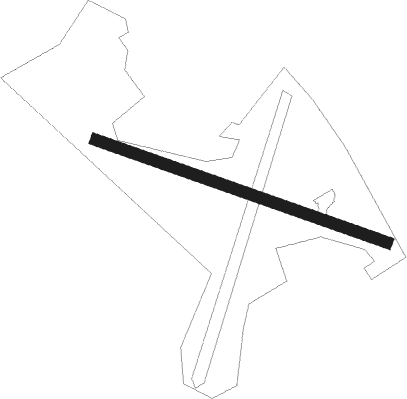
| Runway 13 / 31 | ||
| length | 806m (2644ft) | |
| bearing | 108° / 288° | |
| width | 30m (100ft) | |
| surface | grass | |
Nearby beacons
| code | identifier | dist | bearing | frequency |
|---|---|---|---|---|
| UCA | UTICA TACAN | 26.6 | 169° | 111.20 |
| SYR | SYRACUSE VORTAC | 45.6 | 252° | 117 |
| ART | WATERTOWN VORTAC | 45.8 | 301° | 109.80 |
| GGT | GEORGETOWN TACAN | 47.9 | 220° | 117.80 |
| JJH | JOHNSTOWN NDB | 49 | 117° | 523 |
Disclaimer
The information on this website is not for real aviation. Use this data with the X-Plane flight simulator only! Data taken with kind consent from X-Plane 12 source code and data files. Content is subject to change without notice.