Dunsmuir - Dunsmuir Muni-mott
Airport details
| Country | United States of America |
| State | California |
| Region | K2 |
| Airspace | Oakland Ctr |
| Municipality | Dunsmuir |
| Elevation | 3256ft (992m) |
| Timezone | GMT -8 |
| Coordinates | 41.26300, -122.27200 |
| Magnetic var | |
| Type | land |
| Available since | X-Plane v10.40 |
| ICAO code | 1O6 |
| IATA code | MHS |
| FAA code | 1O6 |
Communication
| Dunsmuir Muni-Mott CTAF | 122.900 |
Nearby Points of Interest:
Lake Shasta Caverns
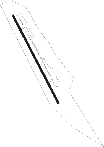
Runway info
| Runway 14 / 32 | ||
| length | 850m (2789ft) | |
| bearing | 151° / 331° | |
| width | 18m (60ft) | |
| surface | asphalt | |
| displ threshold | 195m (640ft) / 0m (0ft) | |
| blast zone | 132m (433ft) / 27m (89ft) | |
Nearby beacons
| code | identifier | dist | bearing | frequency |
|---|---|---|---|---|
| FJS | FORT JONES VOR/DME | 26.5 | 289° | 109.60 |
| MOG | MONTAGUE NDB | 29.4 | 336° | 404 |
| RDD | REDDING VOR/DME | 45.5 | 181° | 108.40 |
| LMT | KLAMATH FALLS VORTAC | 58.7 | 31° | 115.90 |
Disclaimer
The information on this website is not for real aviation. Use this data with the X-Plane flight simulator only! Data taken with kind consent from X-Plane 12 source code and data files. Content is subject to change without notice.