Stratford - Newton Field
Airport details
| Country | United States of America |
| State | California |
| Region | K2 |
| Airspace | Oakland Ctr |
| Municipality | Kings County |
| Elevation | 192ft (59m) |
| Timezone | GMT -8 |
| Coordinates | 36.15690, -119.84958 |
| Magnetic var | |
| Type | land |
| Available since | X-Plane v10.40 |
| ICAO code | 1Q0 |
| IATA code | n/a |
| FAA code | 12CL |
Communication
Nearby Points of Interest:
Kings County Courthouse
-Taoist Temple (Hanford, California)
-The Pioneer
-US Post Office-Visalia Town Center Station
-Hyde House (Visalia, California)
-Bank of Italy
-Fowler
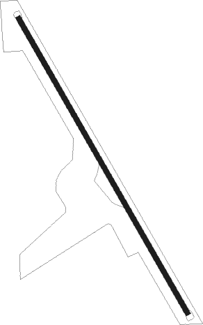
Runway info
| Runway 14 / 32 | ||
| length | 851m (2792ft) | |
| bearing | 150° / 330° | |
| width | 12m (40ft) | |
| surface | asphalt | |
Nearby beacons
| code | identifier | dist | bearing | frequency |
|---|---|---|---|---|
| NLC | NAVY LEMOORE TACAN | 12.5 | 328° | 113.30 |
| VIS | VISALIA VOR/DME | 21.8 | 60° | 109.40 |
| AVE | AVENAL VOR/DME | 31.2 | 194° | 117.10 |
| TTE | TULE VOR/DME | 42.8 | 106° | 109.20 |
| CZQ | CLOVIS (FRESNO) VORTAC | 43.7 | 3° | 112.90 |
| PRB | PASO ROBLES VORTAC | 47.7 | 238° | 114.30 |
| EHF | SHAFTER (BAKERSFIELD) VORTAC | 54.5 | 132° | 115.40 |
| PXN | PANOCHE VORTAC | 56 | 301° | 112.60 |
| FRA | FRIANT VORTAC | 58.2 | 15° | 115.60 |
| MQO | MORRO BAY (SAN LUIS OBISP VORTAC | 70.1 | 225° | 112.40 |
Disclaimer
The information on this website is not for real aviation. Use this data with the X-Plane flight simulator only! Data taken with kind consent from X-Plane 12 source code and data files. Content is subject to change without notice.