Upper Lake - Gravelly Valley
Airport details
| Country | United States of America |
| State | California |
| Region | |
| Airspace | Oakland Ctr |
| Municipality | Lake County |
| Elevation | 1897ft (578m) |
| Timezone | GMT -8 |
| Coordinates | 39.44641, -122.95792 |
| Magnetic var | |
| Type | land |
| Available since | X-Plane v10.40 |
| ICAO code | 1Q5 |
| IATA code | n/a |
| FAA code | 1Q5 |
Communication
Nearby Points of Interest:
Willits station
-Old Lake County Courthouse
-Lakeport Carnegie Library
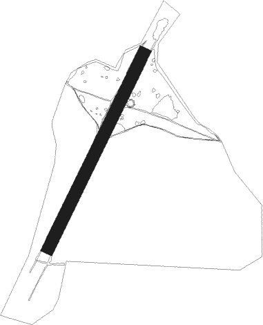
Runway info
| Runway 01 / 19 | ||
| length | 1056m (3465ft) | |
| bearing | 37° / 217° | |
| width | 61m (200ft) | |
| surface | gravel | |
Nearby beacons
| code | identifier | dist | bearing | frequency |
|---|---|---|---|---|
| UK | KEARN (UKIAH) NDB | 16.6 | 239° | 371 |
| ENI | MENDOCINO (UKIAH) VORTAC | 27.8 | 219° | 112.30 |
| ILA | WILLIAMS VORTAC | 48.7 | 112° | 114.40 |
| RBL | RED BLUFF VORTAC | 51.4 | 48° | 115.70 |
| STS | ROSA DME | 56.7 | 171° | 116.15 |
Disclaimer
The information on this website is not for real aviation. Use this data with the X-Plane flight simulator only! Data taken with kind consent from X-Plane 12 source code and data files. Content is subject to change without notice.