Darrington - Darrington Municipal
Airport details
| Country | United States of America |
| State | Washington |
| Region | |
| Airspace | Seattle Ctr |
| Municipality | Darrington |
| Elevation | 541ft (165m) |
| Timezone | GMT -8 |
| Coordinates | 48.25982, -121.61503 |
| Magnetic var | |
| Type | land |
| Available since | X-Plane v10.40 |
| ICAO code | 1S2 |
| IATA code | n/a |
| FAA code | 1S2 |
Communication
| Darrington Municipal CTAF | 122.900 |
Nearby Points of Interest:
Three Fingers Lookout
-Backus-Marblemount Ranger Station House No. 1009
-Backus-Marblemount Ranger Station House No. 1010
-Hidden Lake Peak Lookout
-Gilbert's Cabin
-Marysville Opera House
-Red Men Hall
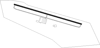
Runway info
| Runway 10 / 28 | ||
| length | 757m (2484ft) | |
| bearing | 104° / 284° | |
| width | 12m (40ft) | |
| surface | asphalt | |
Nearby beacons
| code | identifier | dist | bearing | frequency |
|---|---|---|---|---|
| AW | WATON (ARLINGTON) NDB | 24.2 | 251° | 382 |
| PAE | PAINE (EVERETT) VOR/DME | 33.5 | 243° | 110.60 |
| BVS | SKAGIT/BAY VIEW (BURLINGTON) NDB | 34.4 | 285° | 240 |
| HUH | WHATCOM VORTAC | 56.2 | 305° | 113 |
| SEA | SEATTLE VORTAC | 56.8 | 220° | 116.80 |
| XX | ABBOTSFORD NDB | 57 | 311° | 344 |
Disclaimer
The information on this website is not for real aviation. Use this data with the X-Plane flight simulator only! Data taken with kind consent from X-Plane 12 source code and data files. Content is subject to change without notice.