Forsyth - Tillitt Fld
Airport details
| Country | United States of America |
| State | Montana |
| Region | K1 |
| Airspace | Salt Lake City Ctr |
| Municipality | Rosebud County |
| Elevation | 2727ft (831m) |
| Timezone | GMT -7 |
| Coordinates | 46.27115, -106.62390 |
| Magnetic var | |
| Type | land |
| Available since | X-Plane v10.40 |
| ICAO code | 1S3 |
| IATA code | n/a |
| FAA code | n/a |
Communication
| Tillitt Fld WX AWOS-AV | 122.800 |
| Tillitt Fld CTAF/UNICOM | 122.800 |
Nearby Points of Interest:
Forsyth Main Street Historic District
-St. Philip's Episcopal Church
-Yucca Theatre
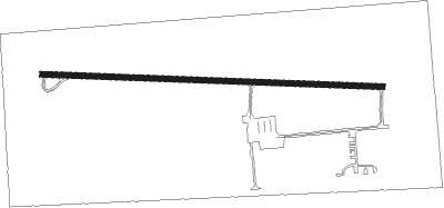
Runway info
| Runway 9 / 27 | ||
| length | 1458m (4783ft) | |
| bearing | 95° / 275° | |
| width | 23m (75ft) | |
| surface | asphalt | |
Nearby beacons
| code | identifier | dist | bearing | frequency |
|---|---|---|---|---|
| MLS | MILES CITY VOR/DME | 28.5 | 81° | 112.10 |
Instrument approach procedures
| runway | airway (heading) | route (dist, bearing) |
|---|---|---|
| RW27 | ASHLI (263°) | ASHLI ATIZO (6mi, 237°) 4900ft |
| RNAV | ATIZO 4900ft ALOSY (6mi, 275°) 3900ft 1S3 (4mi, 275°) 2779ft (6090mi, 113°) 2978ft FREYA (6099mi, 293°) CONUK (12mi, 237°) 6000ft CONUK (turn) |
Disclaimer
The information on this website is not for real aviation. Use this data with the X-Plane flight simulator only! Data taken with kind consent from X-Plane 12 source code and data files. Content is subject to change without notice.