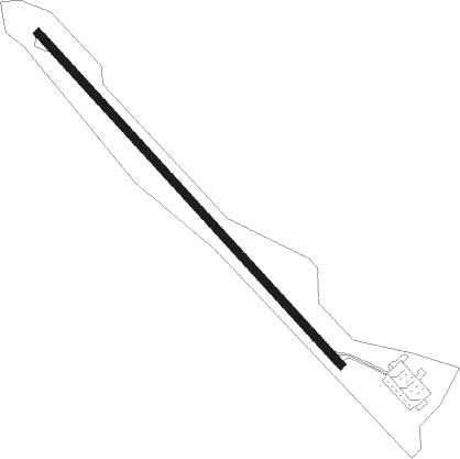
Sylva - Jackson Co
Airport details
| Country | United States of America |
| State | North Carolina |
| Region | K7 |
| Airspace | Atlanta Ctr |
| Municipality | Jackson County |
| Elevation | 2856ft (871m) |
| Timezone | GMT -5 |
| Coordinates | 35.31717, -83.20966 |
| Magnetic var | |
| Type | land |
| Available since | X-Plane v10.40 |
| ICAO code | 24A |
| IATA code | n/a |
| FAA code | 24A |
Communication
| Jackson Co AWOS | 118.900 |
| Jackson Co CTAF | 123.000 |
Nearby Points of Interest:
Joyner Building
-Webster Rock School
-Downtown Sylva Historic District
-Dr. D. D. Hooper House
-Jackson County Courthouse
-Elias Brendle Monteith House and Outbuildings
-The Jarrett House
-Nikwasi
-Albert Swain Bryson House
-Saint Agnes Episcopal Church
-Franklin Presbyterian Church
-Pendergrass Building
-Oconaluftee Ranger Station
-Oconaluftee Archeological District
-Kituwa
-Swain County Courthouse
-Camp Merrie-Woode
-Charles and Annie Quinlan House
-Dr. J. Howell Way House
-Zachery-Tolbert house
-Boone-Withers House
-Masonic Hall
-Waynesville Municipal Building
-Former Citizens Bank and Trust Company Building
-Frog Level Historic District
Nearby beacons
| code | identifier | dist | bearing | frequency |
|---|---|---|---|---|
| SOT | SNOWBIRD VORTAC | 29.4 | 18° | 108.80 |
| IM | KEANS (ASHEVILLE) NDB | 33 | 71° | 357 |
| BRA | BROAD RIVER (ASHEVILLE) NDB | 36.3 | 93° | 379 |
| ODF | FOOTHILLS (TOCCOA) VOR/DME | 37.5 | 188° | 113.40 |
| HRS | HARRIS VORTAC | 41.3 | 242° | 109.80 |
| SUG | SUGARLOAF MT. (ASHEVILLE) VORTAC | 46.4 | 85° | 112.20 |
| VXV | VOLUNTEER (KNOXVILLE) VORTAC | 48.6 | 311° | 116.40 |
| JXT | JEFFERSON (MORRISTOWN) NDB | 49.3 | 341° | 346 |
| GM | JUDKY (GREENVILLE) NDB | 53.1 | 122° | 521 |
| GY | DYANA (GREENVILLE) NDB | 53.2 | 129° | 338 |
| ELW | ELECTRIC CITY (ANDERSON) VORTAC | 57.8 | 155° | 108.60 |
Instrument approach procedures
| runway | airway (heading) | route (dist, bearing) |
|---|---|---|
| RW33 | HOGTA (325°) | HOGTA UYOSE (8mi, 9°) 6700ft |
| RW33 | SOT (198°) | SOT UYOSE (36mi, 176°) 8600ft UYOSE (turn) 6700ft |
| RNAV | UYOSE 6700ft OWEMU (4mi, 300°) 5700ft YALUK (2mi, 301°) 5020ft KAKEC (6mi, 301°) 3009ft (5072mi, 113°) 5000ft HOGTA (5063mi, 293°) 8000ft HOGTA (turn) |
Disclaimer
The information on this website is not for real aviation. Use this data with the X-Plane flight simulator only! Data taken with kind consent from X-Plane 12 source code and data files. Content is subject to change without notice.
