Lowell - Lowell City
Airport details
| Country | United States of America |
| State | Michigan |
| Region | |
| Airspace | Chicago Ctr |
| Municipality | Vergennes Township |
| Elevation | 681ft (208m) |
| Timezone | GMT -5 |
| Coordinates | 42.95679, -85.35009 |
| Magnetic var | |
| Type | land |
| Available since | X-Plane v10.40 |
| ICAO code | 24C |
| IATA code | n/a |
| FAA code | 24C |
Communication
| Lowell City CTAF/UNICOM | 123.000 |
Nearby Points of Interest:
North Country Trail
-Downtown Lowell Historic District
-Sessions Schoolhouse
-Pere Marquette Railway Belding Depot
-Alvah N. Belding Memorial Library
-William H. VanderHeyden House
-John W. Blodgett Estate
-Mathias J. Alten House and Studio
-Ionia Downtown Commercial Historic District
-Ionia County Courthouse
-Hall-Fowler Memorial Library
-Paddock Place
-Third Reformed Church of Grand Rapids, Michigan
-Saint Joseph Seminary
-President Gerald R. Ford, Jr. Boyhood Home
-Loraine Building
-Woodbridge N. Ferris Building
-Peck Block
-Grand Rapids Savings Bank Building
-Greenville Downtown Historic District
-Old Grand Rapids City Hall
-Michigan Trust Company Building
-Division Avenue–Plaster Creek Bridge
-Heartside Historic District
-Goodspeed Brothers Building
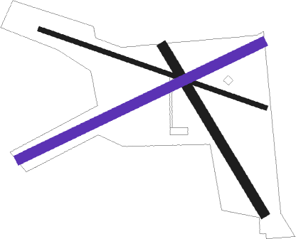
Runway info
Runway 12 / 30  | ||
| length | 730m (2395ft) | |
| bearing | 108° / 288° | |
| width | 15m (48ft) | |
| surface | asphalt | |
| displ threshold | 0m (0ft) / 151m (495ft) | |
| Runway 15 / 33 | ||
| length | 591m (1939ft) | |
| bearing | 146° / 326° | |
| width | 30m (100ft) | |
| surface | grass | |
| displ threshold | 177m (581ft) / 118m (387ft) | |
| Runway 06 / 24 | ||
| length | 818m (2684ft) | |
| bearing | 74° / 254° | |
| width | 30m (100ft) | |
| surface | grass | |
| displ threshold | 335m (1099ft) / 366m (1201ft) | |
Nearby beacons
| code | identifier | dist | bearing | frequency |
|---|---|---|---|---|
| GR | KNOBS (GRAND RAPIDS) NDB | 3.8 | 205° | 263 |
| VIO | VICTORY VOR/DME | 12 | 221° | 115.95 |
| MKG | MUSKEGON TACAN | 32.8 | 287° | 115.20 |
| BT | BATOL (BATTLE CREEK) NDB | 36.4 | 164° | 272 |
| HIC | WHITE CLOUD VOR/DME | 40.4 | 329° | 117.60 |
| AZO | KALAMAZOO VOR/DME | 44.1 | 196° | 109 |
| PMM | PULLMAN VOR/DME | 44.4 | 237° | 112.10 |
| MOP | MOUNT PLEASANT VOR/DME | 48.1 | 43° | 110.60 |
| AZ | AUSTN (KALAMAZOO) NDB | 50.2 | 192° | 371 |
| JXN | DME | 57.5 | 128° | 115.45 |
| ELX | KEELER VOR/DME | 59.5 | 224° | 116.60 |
| LFD | LITCHFIELD VOR/DME | 59.6 | 147° | 111.20 |
Disclaimer
The information on this website is not for real aviation. Use this data with the X-Plane flight simulator only! Data taken with kind consent from X-Plane 12 source code and data files. Content is subject to change without notice.