Mcneal - Tribal Air
Airport details
| Country | United States of America |
| State | Arizona |
| Region | |
| Airspace | Albuquerque Ctr |
| Municipality | Cochise County |
| Elevation | 4200ft (1280m) |
| Timezone | GMT -7 |
| Coordinates | 31.60201, -109.65868 |
| Magnetic var | |
| Type | land |
| Available since | X-Plane v10.40 |
| ICAO code | 2AZ9 |
| IATA code | n/a |
| FAA code | 2AZ9 |
Communication
Nearby Points of Interest:
Grand Theatre
-Phelps Dodge General Office Building
-El Paso and Southwestern Railroad YMCA
-United States Post Office and Customs House–Douglas Main
-Bisbee Woman's Club Clubhouse
-Double Adobe Site
-St. Patrick's Roman Catholic Church
-Douglas Municipal Airport
-Sacred Heart Church
-Naco Border Station
-Tombstone Historic District
-Tombstone Courthouse State Historic Park
-Faraway Ranch Historic District
-Chiricahua National Monument Historic Designed Landscape
-Portal Ranger Station
-Kinjockity Ranch
-J.H. Smith Grocery Store and Filling Station
-Willcox Playa
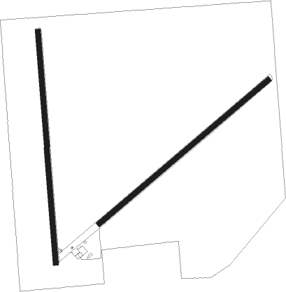
Runway info
Runway 04 / 22  | ||
| length | 1312m (4304ft) | |
| bearing | 58° / 238° | |
| width | 30m (100ft) | |
| surface | gravel | |
| Runway 17 / 35 | ||
| length | 1373m (4505ft) | |
| bearing | 180° / 0° | |
| width | 30m (100ft) | |
| surface | gravel | |
Nearby beacons
| code | identifier | dist | bearing | frequency |
|---|---|---|---|---|
| DUG | DOUGLAS VORTAC | 8.2 | 156° | 108.80 |
| ARH | FORT HUACHUCA TACAN | 34.8 | 269° | 111.60 |
| FHU | LIBBY (FT HUACHUCA) VOR/DME | 35.6 | 269° | 113.60 |
| SSO | SAN SIMON VORTAC | 44.8 | 31° | 115.40 |
Disclaimer
The information on this website is not for real aviation. Use this data with the X-Plane flight simulator only! Data taken with kind consent from X-Plane 12 source code and data files. Content is subject to change without notice.