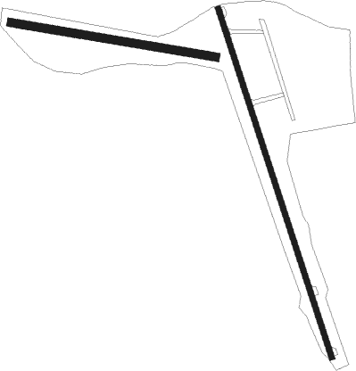
Newport - Parlin Field
Airport details
| Country | United States of America |
| State | New Hampshire |
| Region | K6 |
| Airspace | Boston Ctr |
| Municipality | Newport |
| Elevation | 786ft (240m) |
| Timezone | GMT -5 |
| Coordinates | 43.38719, -72.18764 |
| Magnetic var | |
| Type | land |
| Available since | X-Plane v10.40 |
| ICAO code | 2B3 |
| IATA code | n/a |
| FAA code | n/a |
Communication
Nearby Points of Interest:
Richards Free Library
-Newport Opera House
-Isaac Reed House
-Nettleton House
-Newport Downtown Historic District
-Williamson House
-Lear House
-Purnell House
-Knights-Morey House
-Scranton House
-Welcome Acres
-Backside Inn
-Pike House
-Burford House
-Giffin House
-Seavey House
-Unity Town Hall
-Capt. John Gunnison House
-Cote House
-Janicke House
-Covit House
-The Fells
-David Dexter House
-Claremont City Hall
-Claremont Warehouse No. 34

Nearby beacons
| code | identifier | dist | bearing | frequency |
|---|---|---|---|---|
| CNH | CLAREMONT NDB | 8 | 264° | 233 |
| LEB | DME | 17.5 | 354° | 113.70 |
| LAH | HANOVER (LEBANON) NDB | 18.9 | 2° | 276 |
| CON | CONCORD VOR/DME | 28.5 | 105° | 112.90 |
| LC | BLNAP (LACONIA) NDB | 29.7 | 77° | 328 |
| RUT | DME | 34.3 | 280° | 111 |
| CO | EPSOM (CONCORD) NDB | 35.9 | 110° | 216 |
| EEN | DME | 35.9 | 190° | 109.40 |
| DYO | SMUTO (RUTLAND) NDB | 38.5 | 293° | 221 |
| MJ | FITZY (MANCHESTER) NDB | 42.6 | 128° | 209 |
| MPV | MONTPELIER VOR/DME | 43.4 | 339° | 116.90 |
| MHT | MANCHESTER VOR/DME | 47.4 | 122° | 114.40 |
| GDM | GARDNER VOR/DME | 50.8 | 171° | 110.60 |
| GMA | MAHN (WHITEFIELD) NDB | 62.4 | 27° | 386 |
Instrument approach procedures
| runway | airway (heading) | route (dist, bearing) |
|---|---|---|
| RWNVA | ARIME (341°) | ARIME 4000ft |
| RWNVA | STRUM (11°) | STRUM ARIME (17mi, 30°) 4000ft |
| RWNVA | TAPSE (311°) | TAPSE ARIME (15mi, 293°) 4000ft |
| RNAV | ARIME 4000ft FORME (5mi, 342°) 3400ft JOYED (3mi, 342°) 2120ft 2B3 (4mi, 340°) 806ft (4634mi, 121°) 1185ft ARIME (4629mi, 301°) 4000ft ARIME (turn) |
Disclaimer
The information on this website is not for real aviation. Use this data with the X-Plane flight simulator only! Data taken with kind consent from X-Plane 12 source code and data files. Content is subject to change without notice.