Lost Hills - Paramount Farms
Airport details
| Country | United States of America |
| State | California |
| Region | K2 |
| Airspace | Los Angeles Ctr |
| Municipality | CAL Fire Kern County |
| Elevation | 617ft (188m) |
| Timezone | GMT -8 |
| Coordinates | 35.66639, -119.89639 |
| Magnetic var | |
| Type | land |
| Available since | X-Plane v10.40 |
| ICAO code | 2CN4 |
| IATA code | n/a |
| FAA code | 2CN4 |
Communication
Nearby Points of Interest:
Walter L. Dodge House
-Wasco Union High School
-The Forty Acres
-Shafter Research Station
-Santa Fe Passenger and Freight Depot
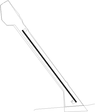
Runway info
| Runway 13 / 31 | ||
| length | 1520m (4987ft) | |
| bearing | 142° / 322° | |
| width | 18m (59ft) | |
| surface | asphalt | |
| displ threshold | 0m (0ft) / 280m (919ft) | |
Nearby beacons
| code | identifier | dist | bearing | frequency |
|---|---|---|---|---|
| AVE | AVENAL VOR/DME | 4.1 | 257° | 117.10 |
| FLW | FELLOWS VOR/DME | 34.4 | 177° | 117.50 |
| PRB | PASO ROBLES VORTAC | 35.6 | 270° | 114.30 |
| EHF | SHAFTER (BAKERSFIELD) VORTAC | 40.5 | 103° | 115.40 |
| NLC | NAVY LEMOORE TACAN | 40.8 | 354° | 113.30 |
| TTE | TULE VOR/DME | 45.1 | 74° | 109.20 |
| VIS | VISALIA VOR/DME | 46.6 | 31° | 109.40 |
| MQO | MORRO BAY (SAN LUIS OBISP VORTAC | 49 | 244° | 112.40 |
| GLJ | GUADALUPE (SANTA MARIA) VOR | 52.7 | 221° | 111 |
| VBG | VANDENBERG (LOMPOC) TACAN | 65.4 | 216° | 112.25 |
Disclaimer
The information on this website is not for real aviation. Use this data with the X-Plane flight simulator only! Data taken with kind consent from X-Plane 12 source code and data files. Content is subject to change without notice.