Lamesa - Lamesa Muni
Airport details
| Country | United States of America |
| State | Texas |
| Region | K4 |
| Airspace | Ft Worth Ctr |
| Municipality | Dawson County |
| Elevation | 2999ft (914m) |
| Timezone | GMT -6 |
| Coordinates | 32.75631, -101.92022 |
| Magnetic var | |
| Type | land |
| Available since | X-Plane v10.40 |
| ICAO code | 2F5 |
| IATA code | n/a |
| FAA code | LUV |
Communication
| Lamesa Muni CTAF/UNICOM | 122.800 |
Nearby Points of Interest:
Lamesa Farm Workers Community Historic District
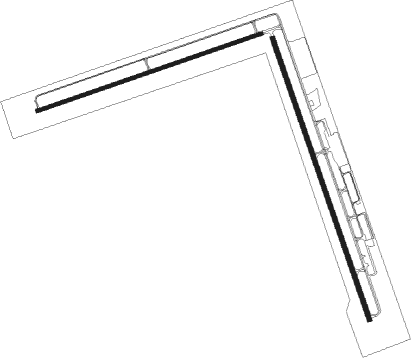
Runway info
Runway 16 / 34  | ||
| length | 1529m (5016ft) | |
| bearing | 163° / 343° | |
| width | 23m (75ft) | |
| surface | asphalt | |
| Runway 7 / 25 | ||
| length | 1218m (3996ft) | |
| bearing | 78° / 258° | |
| width | 17m (56ft) | |
| surface | asphalt | |
Nearby beacons
| code | identifier | dist | bearing | frequency |
|---|---|---|---|---|
| BGS | BIG SPRING VORTAC | 31.3 | 130° | 117.20 |
| MAF | MIDLAND VORTAC | 46.9 | 200° | 114.80 |
| SDR | SNYDER NDB | 49.3 | 93° | 359 |
| MA | FARLY (MIDLAND) NDB | 50.5 | 208° | 326 |
| LD | LUBBI (LUBBOCK) NDB | 55.3 | 12° | 272 |
| LBB | LUBBOCK VORTAC | 56.9 | 0° | 109.20 |
Disclaimer
The information on this website is not for real aviation. Use this data with the X-Plane flight simulator only! Data taken with kind consent from X-Plane 12 source code and data files. Content is subject to change without notice.