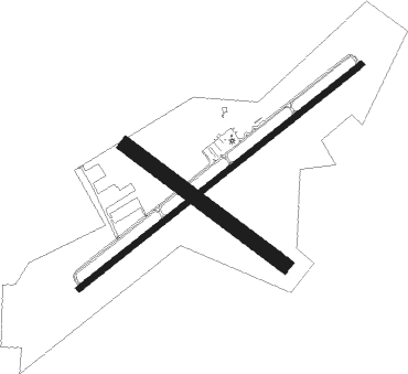
Friedens - Somerset Co
Airport details
| Country | United States of America |
| State | Pennsylvania |
| Region | K6 |
| Airspace | Cleveland Ctr |
| Municipality | Somerset Township |
| Elevation | 2270ft (692m) |
| Timezone | GMT -5 |
| Coordinates | 40.03887, -79.01499 |
| Magnetic var | |
| Type | land |
| Available since | X-Plane v10.40 |
| ICAO code | 2G9 |
| IATA code | n/a |
| FAA code | n/a |
Communication
| SOMERSET CO AWOS 3 | 133.800 |
| SOMERSET CO CTAF/UNICOM | 122.800 |
Approach frequencies
| LOC | RW25 | 108.7 | 18.00mi |
Nearby Points of Interest:
Daniel B. Zimmerman Mansion
-Somerset County Courthouse
-Uptown Somerset Historic District
-Lake City School
-Trostletown Bridge
-Mount Pleasant Armory
-Boswell Historic District
-Pennsylvania Railroad 3750
-Bridge in Jenner Township
-Matthew Hair Farm
-Penrose Wolf Building
-Cairnbrook Historic District
-Kooser State Park Family Cabin District
-Miller's Store
-Shade Furnace Archaeological District
-Linn Run State Park Family Cabin District
-Wills Creek Bollman Bridge
-Second National Bank of Meyersdale
-Windber Historic District
-Ligonier Historic District
-Moxham Historic District
-Ligonier Armory
-Chestnut Ridge and Schellsburg Union Church and Cemetery
-Schellsburg Historic District
-Westmont Historic District

Nearby beacons
| code | identifier | dist | bearing | frequency |
|---|---|---|---|---|
| SYS | STOYSTOWN (SOMERSET) NDB | 5.3 | 65° | 209 |
| IHD | INDIAN HEAD VORTAC | 16.2 | 259° | 108.20 |
| JST | JOHNSTOWN VOR/DME | 18.6 | 33° | 113 |
| GRV | DME | 24.3 | 185° | 112.30 |
| REC | REVLOC VOR/DME | 32.8 | 28° | 110.60 |
| VV | CAMOR (CONNELLSVILLE) NDB | 34.8 | 258° | 299 |
| MGW | MORGANTOWN VOR/DME | 48.5 | 240° | 111.60 |
| ESL | KESSEL VOR/DME | 48.8 | 178° | 110.80 |
Instrument approach procedures
| runway | airway (heading) | route (dist, bearing) |
|---|---|---|
| RW07 | KAVGY (63°) | KAVGY 5600ft |
| RNAV | KAVGY 5600ft SATKE (6mi, 63°) 3700ft SOMRE (2mi, 63°) 2960ft 2G9 (2mi, 63°) 2331ft (4901mi, 117°) 2525ft IZYUR (4893mi, 297°) 5200ft IZYUR (turn) | |
| RW25 | IZYUR (243°) | IZYUR 5200ft |
| RNAV | IZYUR 5200ft KANFY (6mi, 243°) 3800ft PENVE (3mi, 243°) 2920ft 2G9 (3mi, 243°) 2257ft (4901mi, 117°) 2490ft KAVGY (4909mi, 297°) 5600ft KAVGY (turn) |
Disclaimer
The information on this website is not for real aviation. Use this data with the X-Plane flight simulator only! Data taken with kind consent from X-Plane 12 source code and data files. Content is subject to change without notice.