Olive Hill - Olive Hill-sellers Field
Airport details
| Country | United States of America |
| State | Kentucky |
| Region | |
| Airspace | Indianapolis Ctr |
| Municipality | Elliott County |
| Elevation | 1016ft (310m) |
| Timezone | GMT -5 |
| Coordinates | 38.24857, -83.14433 |
| Magnetic var | |
| Type | land |
| Available since | X-Plane v10.40 |
| ICAO code | 2I2 |
| IATA code | n/a |
| FAA code | 2I2 |
Communication
Nearby Points of Interest:
Olive Hill C & O Depot
-Saltpeter Cave
-Judge John E. Cooper House
-Morgan County Courthouse
-Adams County Paleo-Indian District
-Greenup Masonic Lodge
-Methodist Episcopal Church South
-David McKenzie Log Cabin
-McConnell House, Law Office, and Slave Quarters
-Wurtland Union Church
-Captain Freese House
-Big Sandy Milling Company
-First United Methodist Church
-Louisa Commercial Historic District
-Louisa United Methodist Church
-Fred M. Vinson Birthplace
-Atkins–Carter House
-Bath Avenue Historic District
-St. James AME Church
-First Presbyterian Church
-Ashland Commercial Historic District
-First Christian Church
-Ironton Norfolk and Western Depot
-Catlettsburg station
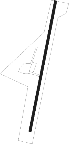
Runway info
| Runway 2 / 20 | ||
| length | 746m (2448ft) | |
| bearing | 20° / 200° | |
| width | 15m (50ft) | |
| surface | asphalt | |
Nearby beacons
| code | identifier | dist | bearing | frequency |
|---|---|---|---|---|
| ECB | DME | 12.3 | 111° | 110.40 |
| YRK | YORK VORTAC | 25 | 23° | 112.80 |
| IOB | MOUNT STERLING NDB | 41.1 | 257° | 210 |
| AZQ | DME | 51.7 | 188° | 111.20 |
| EOP | WAVERLY NDB | 56 | 13° | 385 |
Disclaimer
The information on this website is not for real aviation. Use this data with the X-Plane flight simulator only! Data taken with kind consent from X-Plane 12 source code and data files. Content is subject to change without notice.