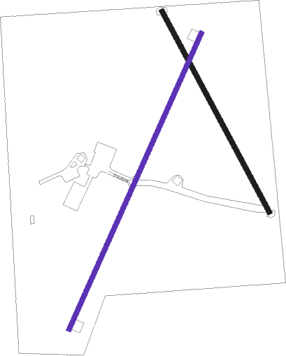
Neodesha - Neodesha Muni
Airport details
| Country | United States of America |
| State | Kansas |
| Region | K3 |
| Airspace | Kansas City Ctr |
| Municipality | Wilson County |
| Elevation | 838ft (255m) |
| Timezone | GMT -6 |
| Coordinates | 37.43536, -95.64612 |
| Magnetic var | |
| Type | land |
| Available since | X-Plane v10.40 |
| ICAO code | 2K7 |
| IATA code | n/a |
| FAA code | n/a |
Communication
| Neodesha Muni CTAF/UNICOM | 122.800 |
Nearby Points of Interest:
Booth Theater
-Union Implement and Hardware Building-Masonic Temple
-State Street Bridge
-Onion Creek Bridge (Coffeyville, Kansas)
-City Square Park Bandstand
-Elk Falls Pratt Truss Bridge
-Stockbrands and Kemmerer Department Store
-Woodson County Courthouse
-Yates Center Carnegie Library
-Allen County Jail
-Northrup House

Nearby beacons
| code | identifier | dist | bearing | frequency |
|---|---|---|---|---|
| CNU | CHANUTE VOR/DME | 11.7 | 15° | 109.20 |
| OSW | OSWEGO VOR/DME | 26.9 | 122° | 117.60 |
| BV | DEWIE (BARTLESVILLE) NDB | 39.8 | 212° | 201 |
| BVO | BARTLESVILLE VOR/DME | 40.2 | 212° | 117.90 |
| EMP | EMPORIA VORTAC | 56.4 | 330° | 112.80 |
Disclaimer
The information on this website is not for real aviation. Use this data with the X-Plane flight simulator only! Data taken with kind consent from X-Plane 12 source code and data files. Content is subject to change without notice.