Mount Vernon - Mount Vernon Muni
Airport details
| Country | United States of America |
| State | Missouri |
| Region | K3 |
| Airspace | Kansas City Ctr |
| Municipality | Lawrence County |
| Elevation | 1244ft (379m) |
| Timezone | GMT -6 |
| Coordinates | 37.06839, -93.88493 |
| Magnetic var | |
| Type | land |
| Available since | X-Plane v10.40 |
| ICAO code | 2MO |
| IATA code | n/a |
| FAA code | 2MO |
Communication
| Mount Vernon Muni CTAF | 122.900 |
Nearby Points of Interest:
Lawrence County Courthouse
-Lewis Shaw Coleman House
-Elijah Teague Anderson House
-Phelps Country Estate
-Berry Cemetery
-Greenfield Opera House
-Carthage South Historic District
-Golden Prairie
-Cassill Place Historic District
-Gilmore Barn
-Stone County Courthouse
-Neosho Wholesale Grocery Company
-Neosho Commercial Historic District
-Second Baptist Church
-Downtown Webb City Historic District
-J.E. King Manufacturing Company
-Henry Schneider Building
-Fallin Brothers Building
-Springfield Seed Co. Office and Warehouse
-Robert B. and Vitae A. Kite Apartment Building
-Finkbiner Building
-Old Calaboose
-Wise Feed Company Building
-Day House
-Heer's Department Store
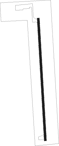
Runway info
| Runway 18 / 36 | ||
| length | 976m (3202ft) | |
| bearing | 181° / 1° | |
| width | 18m (60ft) | |
| surface | asphalt | |
Nearby beacons
| code | identifier | dist | bearing | frequency |
|---|---|---|---|---|
| EOS | NEOSHO VOR/DME | 29.7 | 248° | 117.30 |
| SGF | SPRINGFIELD VORTAC | 31.5 | 62° | 116.90 |
| JL | LUNNS (JOPLIN) NDB | 33.2 | 281° | 344 |
| RZC | RAZORBACK (FAYETTEVILLE) VORTAC | 50.6 | 196° | 116.40 |
| HRO | HARRISON VOR/DME | 55.4 | 138° | 112.50 |
| SLG | SILOAM SPRINGS NDB | 60.2 | 214° | 284 |
Disclaimer
The information on this website is not for real aviation. Use this data with the X-Plane flight simulator only! Data taken with kind consent from X-Plane 12 source code and data files. Content is subject to change without notice.