Jeanerette - Le Maire Mem
Airport details
| Country | United States of America |
| State | Louisiana |
| Region | K4 |
| Municipality | Iberia Parish |
| Elevation | 14ft (4m) |
| Timezone | GMT -6 |
| Coordinates | 29.89907, -91.66600 |
| Magnetic var | |
| Type | land |
| Available since | X-Plane v10.40 |
| ICAO code | 2R1 |
| IATA code | n/a |
| FAA code | n/a |
Communication
| Le Maire Mem CTAF | 122.900 |
Nearby Points of Interest:
Albania Plantation House
-LeJeune's Bakery
-Bayside
-St. Mary's Episcopal Church
-Conrad Rice Mill
-Shadows-on-the-Teche
-New Iberia High School
-Oaklawn Manor
-Arlington Plantation House
-St. Martin Parish Courthouse
-Fontenette-Bienvenu House
-Longfellow-Evangeline State Historic Site
-Maison Olivier
-Joseph Jefferson House
-Calumet Plantation House
-St. Mary Congregational Church
-Freetown-Port Rico Historic District
-Old Lafayette City Hall
-Brandt House (Lafayette, Louisiana)
-Dr. Joseph Angel Villien House
-Atkinson Memorial Presbyterian Church
-Tally-Ho Plantation House
-St. Elizabeth Catholic Church
-Iberville Parish Courthouse
-Belle Alliance Plantation
Runway info
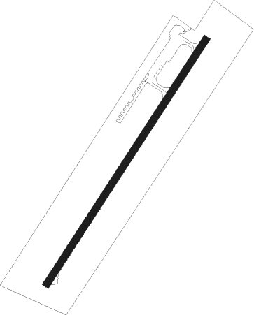
| Runway 4 / 22 | ||
| length | 918m (3012ft) | |
| bearing | 41° / 221° | |
| width | 23m (75ft) | |
| surface | asphalt | |
| displ threshold | 0m (0ft) / 184m (604ft) | |
Nearby beacons
| code | identifier | dist | bearing | frequency |
|---|---|---|---|---|
| LFT | LAFAYETTE VORTAC | 24.5 | 312° | 109.80 |
| BNZ | ABBEVILLE NDB | 25.7 | 290° | 230 |
| LF | LAFFS (LAFARETTE) NDB | 26.5 | 328° | 375 |
| LLA | WHITE LAKE VOR/DME | 39.5 | 252° | 110.40 |
| LSU | FIGHTING TIGER (BATON ROU VORTAC | 40.1 | 32° | 116.50 |
| TBD | TIBBY (THIBODAUX) VOR/DME | 45.8 | 106° | 112 |
| BT | RUNDI (BATON ROUGE) NDB | 47.3 | 34° | 284 |
| ECY | DURALDE (EUNICE) NDB | 56.7 | 310° | 263 |
Disclaimer
The information on this website is not for real aviation. Use this data with the X-Plane flight simulator only! Data taken with kind consent from X-Plane 12 source code and data files. Content is subject to change without notice.