Franklinton
Airport details
| Country | United States of America |
| State | Louisiana |
| Region | K4 |
| Airspace | Houston Oceanic Ctr |
| Municipality | Washington Parish |
| Elevation | 172ft (52m) |
| Timezone | GMT -6 |
| Coordinates | 30.81944, -90.11253 |
| Magnetic var | |
| Type | land |
| Available since | X-Plane v10.40 |
| ICAO code | 2R7 |
| IATA code | n/a |
| FAA code | n/a |
Communication
| Franklinton CTAF | 122.900 |
Nearby Points of Interest:
Thomas M. Babington House
-Greenlaw House
-Bogalusa Post Office
-Bogalusa City Hall
-Robert "Bob" Hicks House
-John Ford Home
-Green Shutters
-Abita Springs Historic District
-Arcola Presbyterian Church
-Christ Episcopal Church
-Madisonville Town Hall
-Randal House
-McGehee House
-Magnolia Depot
-Johnson House
-Griffin's Bakery
-Dew Drop Social and Benevolent Hall
-Old St. Helena Parish Jail
-Fontainebleau State Park
-William Frederick Holmes House
-Macedonia Baptist Church
-Francois Cousin House
-Hungarian Settlement School
-Old Livingston Parish Courthouse
-Pass Manchac Light
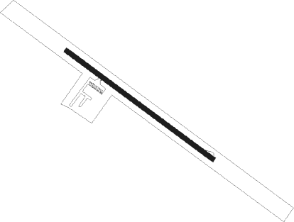
Runway info
| Runway 13 / 31 | ||
| length | 915m (3002ft) | |
| bearing | 127° / 307° | |
| width | 23m (75ft) | |
| surface | asphalt | |
| displ threshold | 0m (0ft) / 17m (56ft) | |
Nearby beacons
| code | identifier | dist | bearing | frequency |
|---|---|---|---|---|
| GVB | BOGALUSA NDB | 13.4 | 76° | 353 |
| HP | ANGER (HAMMOND) NDB | 20.4 | 235° | 212 |
| PCU | PICAYUNE VOR/DME | 25 | 124° | 113.95 |
| MCB | MC COMB VORTAC | 30 | 343° | 116.70 |
| MC | FERNI (MCCOMB) NDB | 33.1 | 318° | 413 |
| HS | HANCO (BAY ST LOUIS) NDB | 40.5 | 119° | 221 |
| MS | KINTE (NEW ORLEANS) NDB | 49.9 | 200° | 338 |
| RQR | RESERVE VOR/DME | 50.3 | 213° | 110.80 |
| GP | BAYOU NDB | 53 | 109° | 360 |
| LBY | EATON (HATTIESBURG) VORTAC | 53.6 | 52° | 110.60 |
| HRV | HARVEY (NEW ORLEANS) VORTAC | 58.4 | 174° | 114.10 |
Disclaimer
The information on this website is not for real aviation. Use this data with the X-Plane flight simulator only! Data taken with kind consent from X-Plane 12 source code and data files. Content is subject to change without notice.