Wray - Wray Muni
Airport details
| Country | United States of America |
| State | Colorado |
| Region | K2 |
| Airspace | Denver Ctr |
| Municipality | Wray |
| Elevation | 3676ft (1120m) |
| Timezone | GMT -7 |
| Coordinates | 40.10039, -102.24117 |
| Magnetic var | |
| Type | land |
| Available since | X-Plane v10.40 |
| ICAO code | 2V5 |
| IATA code | n/a |
| FAA code | 2V5 |
Communication
| Wray Muni AWOS | 118.250 |
| Wray Muni CTAF/UNICOM | 122.800 |
Nearby Points of Interest:
Boggs Lumber and Hardware Building
-Beecher Island
-Millage Farm Rural Historic District
-Cheyenne County Courthouse
-Howard T. Sawhill City Park
-W. E. Heginbotham House
-Phillips County Courthouse
Runway info
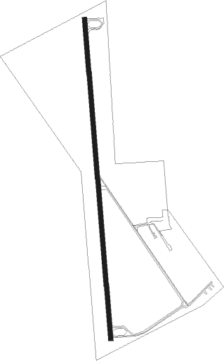
| Runway 17 / 35 | ||
| length | 1647m (5404ft) | |
| bearing | 180° / 360° | |
| width | 23m (75ft) | |
| surface | asphalt | |
Nearby beacons
| code | identifier | dist | bearing | frequency |
|---|---|---|---|---|
| SYF | SAINT FRANCIS NDB | 31.2 | 128° | 386 |
| AKO | AKRON VOR/DME | 43.2 | 273° | 114.40 |
| GLD | GOODLAND VORTAC | 49.7 | 142° | 115.10 |
| TXC | THURMAN VORTAC | 50.9 | 248° | 112.90 |
| ITR | KIT CARSON (BURLINGTON) NDB | 51.3 | 183° | 209 |
| GGF | GRANT NDB | 51.8 | 34° | 359 |
| GL | SHUGR (GOODLAND) NDB | 56.7 | 142° | 414 |
| CNP | CHAPPELL NDB | 59.4 | 347° | 383 |
| SNY | SIDNEY VOR/DME | 68.7 | 323° | 115.90 |
Instrument approach procedures
| runway | airway (heading) | route (dist, bearing) |
|---|---|---|
| RW17 | BLEDS (226°) | BLEDS COLOD (10mi, 270°) 6200ft |
| RW17 | COLOD (180°) | COLOD 6200ft |
| RW17 | LUCII (133°) | LUCII COLOD (10mi, 90°) 6200ft |
| RNAV | COLOD 6200ft TECOB (8mi, 180°) 5000ft STARP (2mi, 180°) 4340ft 2V5 (2mi, 180°) 3722ft (5966mi, 111°) 3877ft GUDSE (5968mi, 291°) 6600ft GUDSE (turn) | |
| RW35 | CAREE (43°) | CAREE GUDSE (10mi, 90°) 6600ft |
| RW35 | DLFRD (317°) | DLFRD GUDSE (10mi, 270°) 6600ft |
| RW35 | GUDSE (360°) | GUDSE 6600ft |
| RNAV | GUDSE 6600ft HAGLA (8mi, 360°) 5400ft 2V5 (6mi, 360°) 3689ft (5966mi, 111°) 3903ft COLOD (5964mi, 292°) 6200ft COLOD (turn) |
Disclaimer
The information on this website is not for real aviation. Use this data with the X-Plane flight simulator only! Data taken with kind consent from X-Plane 12 source code and data files. Content is subject to change without notice.