Athens - Glad Oaks
Airport details
| Country | United States of America |
| State | Texas |
| Region | |
| Airspace | Ft Worth Ctr |
| Municipality | Anderson County |
| Elevation | 485ft (148m) |
| Timezone | GMT -6 |
| Coordinates | 32.02573, -95.69646 |
| Magnetic var | |
| Type | land |
| Available since | X-Plane v10.40 |
| ICAO code | 2XS3 |
| IATA code | n/a |
| FAA code | 2XS3 |
Communication
Nearby Points of Interest:
Anderson Camp Ground
-Faulk and Gauntt Building
-Anderson County Courthouse
-Sacred Heart Catholic Church and School
-First Presbyterian Church
-Texas and Pacific 610
-Whitaker-McClendon House
-Ramey House
-St. John's AF & AM Lodge
-Tyler City Hall
-Marvin Methodist Episcopal Church, South
-Jenkins-Harvey Super Service Station and Garage
-Carnegie Public Library
-Elks Club Building
-William M. Steger Federal Building and United States Courthouse
-People's National Bank Building
-St. James Colored Methodist Episcopal Church
-Blackstone Building
-Cotton Belt Depot Museum
Runway info
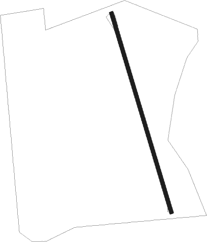
| Runway 16 / 34 | ||
| length | 1267m (4157ft) | |
| bearing | 166° / 346° | |
| width | 23m (75ft) | |
| surface | asphalt | |
Nearby beacons
| code | identifier | dist | bearing | frequency |
|---|---|---|---|---|
| FZT | FRANKSTON VOR/DME | 8.9 | 74° | 111.40 |
| CSZ | CROSSROADS NDB | 13.4 | 278° | 215 |
| TYR | TYLER VOR/DME | 24.7 | 42° | 114.20 |
| CQY | CEDAR CREEK VORTAC | 28.2 | 287° | 114.80 |
| CRS | CORSICANA NDB | 35.5 | 270° | 396 |
| CGQ | POWELL (CORSICANA) NDB | 37.2 | 273° | 344 |
| ABG | AMBASSADOR (BIG SANDY) NDB | 44.7 | 46° | 404 |
| LXY | MEXIA NDB | 47.6 | 245° | 329 |
| GNL | GROESBECK (MEXIA) VOR/DME | 51 | 242° | 108.80 |
| GG | VEELS (LONGVIEW) NDB | 52.4 | 64° | 410 |
| GGG | GREGG CO. (LONGVIEW) VORTAC | 53.3 | 67° | 112.90 |
| UIM | DME | 53.9 | 21° | 114 |
| LOA | LEONA VORTAC | 55.9 | 197° | 110.80 |
| OC | NADOS (NACOGDOCHES) NDB | 59.4 | 119° | 253 |
| PQF | MESQUITE NDB | 63.2 | 313° | 248 |
| LF | FLUFY (LUFKIN) NDB | 65.8 | 133° | 350 |
| LFK | LUFKIN VORTAC | 72.1 | 131° | 112.10 |
Disclaimer
The information on this website is not for real aviation. Use this data with the X-Plane flight simulator only! Data taken with kind consent from X-Plane 12 source code and data files. Content is subject to change without notice.