Eagleswood - Eagles Nest
Airport details
| Country | United States of America |
| State | New Jersey |
| Region | K6 |
| Airspace | New York Ctr |
| Municipality | Eagleswood Township |
| Elevation | 35ft (11m) |
| Timezone | GMT -5 |
| Coordinates | 39.66545, -74.30804 |
| Magnetic var | |
| Type | land |
| Available since | X-Plane v10.40 |
| ICAO code | 31E |
| IATA code | n/a |
| FAA code | 31E |
Communication
Nearby Points of Interest:
Manahawkin Baptist Church
-Little Egg Harbor Friends Meeting House
-Beach Haven Historic District
-Cedar Bridge Tavern
-Port Republic Historic District
-Amanda Blake Store
-Smithville Apothecary
-Ocean County Courthouse
-Segal Building
-Church of the Ascension
-U.S. Life Saving Station No. 14
-Boardwalk Hall
-Hangar No. 1, Lakehurst Naval Air Station
-Mays Landing Presbyterian Church
-Belcoville Post Office
-Dennisville Historic District
-Jacobus Evangelical Lutheran Church
-Morris Mansion and Mill
-Somers Mansion
-Orient Baptist Church
-St. Mary of the Lakes Catholic Church
-Ocean City Residential Historic District
-Ocean City City Hall
-Ocean City Tenth Street Station
-Bay Head Historic District
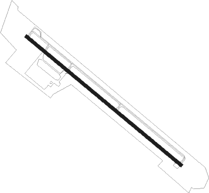
Runway info
| Runway 14 / 32 | ||
| length | 1120m (3675ft) | |
| bearing | 127° / 307° | |
| width | 18m (60ft) | |
| surface | asphalt | |
| displ threshold | 120m (394ft) / 122m (400ft) | |
Nearby beacons
| code | identifier | dist | bearing | frequency |
|---|---|---|---|---|
| CYN | COYLE VORTAC | 10.7 | 321° | 113.40 |
| ACY | ATLANTIC CITY VORTAC | 17.6 | 232° | 108.60 |
| NEL | LAKEHURST TACAN | 22.4 | 353° | 111.80 |
| NEL | LAKEHURST NDB | 22.8 | 356° | 396 |
| GXU | MC GUIRE (WRIGHTSTOWN) VORTAC | 24.5 | 320° | 110.60 |
| VCN | CEDAR LAKE (MILLVILLE) VOR/DME | 31.4 | 259° | 115.20 |
| RBV | ROBBINSVILLE VORTAC | 33.3 | 341° | 113.80 |
| COL | COLTS NECK VOR/DME | 39.4 | 13° | 115.40 |
| RNB | RAINBOW (MILLVILLE) NDB | 41 | 253° | 363 |
| SIE | SEA ISLE VORTAC | 41.1 | 221° | 114.80 |
| ARD | YARDLEY VOR/DME | 44.8 | 314° | 108.20 |
| OOD | WOODSTOWN VORTAC | 46 | 268° | 112.80 |
| ING | AMBLER NDB | 52.8 | 295° | 275 |
| SBJ | SOLBERG VOR/DME | 58.5 | 335° | 112.90 |
| CRI | CANARSIE VOR/DME | 59.9 | 24° | 112.30 |
| JFK | KENNEDY (NEW YORK) VOR/DME | 63.1 | 29° | 115.90 |
| ATR | WATERLOO VOR/DME | 66.3 | 227° | 112.60 |
Instrument approach procedures
| runway | airway (heading) | route (dist, bearing) |
|---|---|---|
| RWNVA | BESTE (127°) | BESTE 2000ft |
| RNAV | BESTE 2000ft BIERS (3mi, 127°) 2000ft 31E (6mi, 127°) 71ft (4683mi, 118°) 440ft BESTE (4692mi, 298°) 2000ft BESTE (turn) | |
| RWNVB | REACT (307°) | REACT 2300ft |
| RNAV | REACT 2300ft VENTS (3mi, 307°) 1700ft 31E (5mi, 307°) 79ft (4683mi, 118°) 440ft REACT (4676mi, 298°) 2300ft REACT (turn) |
Disclaimer
The information on this website is not for real aviation. Use this data with the X-Plane flight simulator only! Data taken with kind consent from X-Plane 12 source code and data files. Content is subject to change without notice.