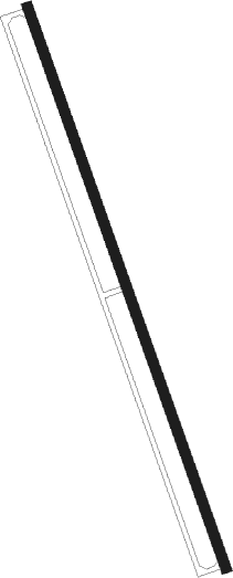
Medway - Norfolk
Airport details
| Country | United States of America |
| State | Massachusetts |
| Region | |
| Airspace | Boston Ctr |
| Municipality | Norfolk |
| Elevation | 137ft (42m) |
| Timezone | GMT -5 |
| Coordinates | 42.13145, -71.37163 |
| Magnetic var | |
| Type | land |
| Available since | X-Plane v10.40 |
| ICAO code | 32M |
| IATA code | n/a |
| FAA code | n/a |
Communication
Nearby Points of Interest:
Ellice School
-Medway Village Historic District
-Rockwood Road Historic District
-Millis station
-Millis Center Historic District
-Warelands
-John Partridge House
-Sullivan's Corner Historic District
-Rabbit Hill Historic District
-Franklin Common Historic District
-Stephen Turner House
-Oak Grove Farm
-Wrentham State School
-Bullard Farm
-Roebuck Tavern
-Plimpton-Winter House
-Pondville Cemetery
-Hydrant No. 3 House
-H. G. Vaughn House
-Inness–Fitts House and Studio
-Deacon William Leland House
-Thomas Hollis Historic District
-Medfield State Hospital
-Addington Gardner House
-Deacon Willard Lewis House
Nearby beacons
| code | identifier | dist | bearing | frequency |
|---|---|---|---|---|
| OW | STOGE (NORWOOD) NDB | 10.8 | 93° | 397 |
| BOS | BOSTON VOR/DME | 21.7 | 59° | 112.70 |
| PUT | PUTNAM VOR/DME | 23.5 | 250° | 117.40 |
| PVD | PROVIDENCE VOR/DME | 24.5 | 188° | 115.60 |
| LWM | DME | 38.5 | 24° | 112.50 |
| GDM | GARDNER VOR/DME | 39.3 | 301° | 110.60 |
| MHT | MANCHESTER VOR/DME | 44.2 | 0° | 114.40 |
| MJ | FITZY (MANCHESTER) NDB | 44.5 | 348° | 209 |
| ORW | NORWICH VOR/DME | 44.5 | 228° | 110 |
| FMH | OTIS (FALMOUTH) TACAN | 47.6 | 119° | 115.80 |
| MVY | MARTHA'S VINEYARD VOR/DME | 55.7 | 134° | 114.50 |
| EEN | DME | 56.9 | 306° | 109.40 |
| GON | GROTON VOR/DME | 56.9 | 220° | 110.85 |
| SEY | SANDY POINT (BLOCK ISLAND VOR/DME | 58.6 | 192° | 117.80 |
| CO | EPSOM (CONCORD) NDB | 59.4 | 355° | 216 |
| PSM | (PORTSMOUTH) DME | 62 | 30° | 116.50 |
Disclaimer
The information on this website is not for real aviation. Use this data with the X-Plane flight simulator only! Data taken with kind consent from X-Plane 12 source code and data files. Content is subject to change without notice.
