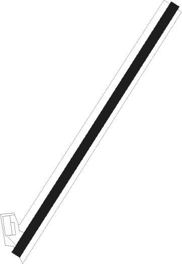
Landéan - Landéan Fougères
Airport details
| Country | France |
| State | Brittany |
| Region | LF |
| Airspace | Brest Ctr |
| Municipality | Landéan |
| Elevation | 541ft (165m) |
| Timezone | GMT +1 |
| Coordinates | 48.42677, -1.16158 |
| Magnetic var | |
| Type | land |
| Available since | X-Plane v10.40 |
| ICAO code | 3551 |
| IATA code | n/a |
| FAA code | n/a |
Communication
| Landéan Fougères ATC Freq | 123.500 |
Nearby Points of Interest:
Château du Bois-Guy
-Hôtel de la Belinaye
-Tour Desnos
-Hôtel de Marigny
-Chapelle Saint-Joseph de Fougères
-Hôtel de Ville de Fougères
-Grange de la Gélinais
-église de Saint-Marc-le-Blanc
-abbaye de Montmorel
-château de Boucéel
-Chapelle Notre-Dame de Charné (Ernée)
-Menhirs dans la forêt de Haute-Sève
-Villa Bailleul
-Hôtel Guiscard de la Ménardière
-calvaire du cimetière de Gahard
-Maison, rue de l’Église, Bazouges-la-Pérouse
-Maison, place de la Poterie, Bazouges-la-Pérouse
-Grande Forge
-Chapelle Notre-Dame-de-Montéglise
-chapelle Saint-Georges de Bouillé
-Chaire de la collégiale Sainte-Marie-Madeleine de Champeaux (Ille-et-Vilaine)
-manoir de la Guérinière
-Menhir de Saint-Civière
-Monastère Saint-Nicolas de Vitré
-Prieuré Notre-Dame de Vitré
Nearby beacons
| code | identifier | dist | bearing | frequency |
|---|---|---|---|---|
| REN | RENNES SAINT JACQUES VOR/DME | 31.6 | 238° | 109.25 |
| LA | LAVAL NDB | 33.2 | 133° | 401 |
| DIN | DINARD PLEURTUIT SAINT MA VOR/DME | 37.8 | 280° | 114.30 |
| CAN | CAEN CARPIQUET VOR/DME | 52.8 | 43° | 114.45 |
| CNE | CAEN NDB | 53 | 51° | 404 |
| ANG | ANGERS VOR | 54.8 | 161° | 113 |
| JSY | JERSEY VOR/DME | 59.1 | 312° | 112.20 |
| LM | LE MANS NDB | 62.2 | 112° | 326 |
| LGL | L'AIGLE VOR/DME | 70.6 | 78° | 112.70 |
Disclaimer
The information on this website is not for real aviation. Use this data with the X-Plane flight simulator only! Data taken with kind consent from X-Plane 12 source code and data files. Content is subject to change without notice.
