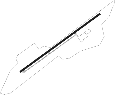
Happy Camp
Airport details
| Country | United States of America |
| State | California |
| Region | K2 |
| Airspace | Seattle Ctr |
| Municipality | Siskiyou County |
| Elevation | 1208ft (368m) |
| Timezone | GMT -8 |
| Coordinates | 41.79140, -123.38586 |
| Magnetic var | |
| Type | land |
| Available since | X-Plane v10.40 |
| ICAO code | 36S |
| IATA code | n/a |
| FAA code | n/a |
Communication
| Happy Camp CTAF | 122.900 |
Nearby Points of Interest:
Osgood Ditch
-Oregon Caves Historic District
-Cedar Guard Station
-Illinois Valley Airport
-Squaw Peak Lookout
-Pacific Crest Trail
-Gasquet Ranger Station Historic District
Nearby beacons
| code | identifier | dist | bearing | frequency |
|---|---|---|---|---|
| FJS | FORT JONES VOR/DME | 33.1 | 121° | 109.60 |
| CEC | CRESCENT CITY VORTAC | 38.2 | 269° | 109 |
| MOG | MONTAGUE NDB | 40.6 | 94° | 404 |
| MEF | MEDFORD NDB | 42.5 | 40° | 356 |
| OED | ROGUE VALLEY (MEDFORD) VORTAC | 46.3 | 34° | 113.60 |
| ACV | ARCATA VOR/DME | 58.5 | 222° | 115.05 |
Disclaimer
The information on this website is not for real aviation. Use this data with the X-Plane flight simulator only! Data taken with kind consent from X-Plane 12 source code and data files. Content is subject to change without notice.