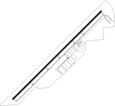
Herber - Heber Muni Russ Mcdonald Fld
Airport details
| Country | United States of America |
| State | Utah |
| Region | K2 |
| Airspace | Salt Lake City Ctr |
| Municipality | Heber |
| Elevation | 5636ft (1718m) |
| Timezone | GMT -7 |
| Coordinates | 40.48180, -111.42880 |
| Magnetic var | |
| Type | land |
| Available since | X-Plane v10.40 |
| ICAO code | 36U |
| IATA code | n/a |
| FAA code | KHCR |
Communication
| Heber Muni Russ McDonald Fld AWOS-3PT | 124.825 |
| Heber Muni Russ McDonald Fld CTAF/UNICOM | 122.800 |
Nearby Points of Interest:
James William Clyde House
-Heber Second Ward Meetinghouse
-Abram Hatch House
-George Blackley House
-George Bonner, Sr., House
-George Bonner, Jr., House
-William Bonner House
-Watkins-Coleman House
-James Cassidy House
-St. Mary of the Assumption Church and School
-IOOF Relief Home
-House at 463 Park Avenue
-Reese Williams House
-Dr. William Bardsley House
-Park City Main Street Historic District
-Charles Meadowcroft House
-Samuel D. Walker House
-Park City High School Mechanical Arts Building
-Timpanogos Cave Historic District
-Upper American Fork Hydroelectric Power Plant Historic District
-Olmsted Station Powerhouse
-Oscar F. Lyons House
-Kimball Stage Stop
-Edward Wadley House
-Christen Larsen House
Nearby beacons
| code | identifier | dist | bearing | frequency |
|---|---|---|---|---|
| PVU | PROVO VOR/DME | 20.8 | 228° | 108.40 |
| FFU | FAIRFIELD (PROVO) VORTAC | 26.5 | 248° | 116.60 |
| TCH | WASATCH VORTAC | 33.5 | 304° | 116.80 |
| HIF | HILL (OGDEN) TACAN | 45.4 | 320° | 111.20 |
| EVW | EVANSTON VOR/DME | 50.5 | 26° | 109.60 |
| OGD | OGDEN VORTAC | 53.9 | 318° | 115.70 |
| PUC | CARBON (PRICE) VOR/DME | 61.2 | 142° | 115.50 |
Disclaimer
The information on this website is not for real aviation. Use this data with the X-Plane flight simulator only! Data taken with kind consent from X-Plane 12 source code and data files. Content is subject to change without notice.