Hornersville - Hornersville Mem
Airport details
| Country | United States of America |
| State | Missouri |
| Region | |
| Airspace | Memphis Ctr |
| Municipality | Dunklin County |
| Elevation | 248ft (76m) |
| Timezone | GMT -6 |
| Coordinates | 36.04455, -90.15079 |
| Magnetic var | |
| Type | land |
| Available since | X-Plane v10.40 |
| ICAO code | 37M |
| IATA code | n/a |
| FAA code | 37M |
Communication
| Hornersville Mem CTAF | 122.900 |
Nearby Points of Interest:
Jonesboro, Lake City & Eastern Railroad Depot
-Herman Davis State Park
-Ely and Walker Shirt Factory No. 5
-First National Bank Building
-West Main Street Residential Historic District
-Blytheville Greyhound Bus Station
-George Ray's Dragstrip
-Mississippi County Courthouse
-Kress Building
-Craighead County Road 513C Bridge
-Scatterville Cemetery
-National Bank of Commerce Building (Paragould, Arkansas)
-Greene County Courthouse
-Jackson-Herget House
-Beisel-Mitchell House
-Highfill-McClure House
-Linwood Mausoleum
-Campbell Archeological Site
-Knob School
-Piggott National Guard Armory
-Pfeiffer House and Carriage House
-City Hall
-Florida Brothers Building
-Osceola Times Building
Runway info
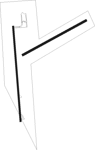
Runway 18 / 36  | ||
| length | 809m (2654ft) | |
| bearing | 180° / 0° | |
| width | 14m (47ft) | |
| surface | asphalt | |
| Runway 06 / 24 | ||
| length | 611m (2005ft) | |
| bearing | 70° / 250° | |
| width | 18m (60ft) | |
| surface | grass | |
Nearby beacons
| code | identifier | dist | bearing | frequency |
|---|---|---|---|---|
| JBR | JONESBORO VOR/DME | 23.5 | 249° | 108.60 |
| MAW | MALDEN VORTAC | 32.7 | 25° | 111.20 |
| TNZ | LAWRENCE COUNTY (WALNUT RIDGE) NDB | 38.7 | 282° | 227 |
| ARG | WALNUT RIDGE VORTAC | 39.1 | 275° | 114.50 |
| DYR | DYERSBURG VORTAC | 40.4 | 92° | 116.80 |
| GQE | GILMORE VOR/DME | 44.8 | 205° | 113 |
Disclaimer
The information on this website is not for real aviation. Use this data with the X-Plane flight simulator only! Data taken with kind consent from X-Plane 12 source code and data files. Content is subject to change without notice.